|

Sweden
18.5 km (11.5 miles) SW of Varberg, Halland, Sweden
Approx. altitude: 0 m
(0 ft)
([?] maps: Google MapQuest OpenStreetMap ConfluenceNavigator)
Antipode: 57°S 168°W
Accuracy: 14 m (45 ft)
Quality: good
Click on any of the images for the full-sized picture.


| 57°N 12°E |

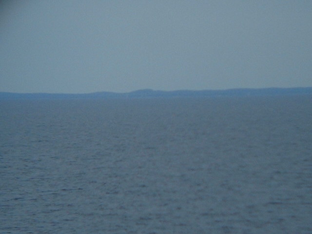
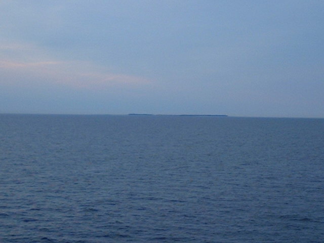
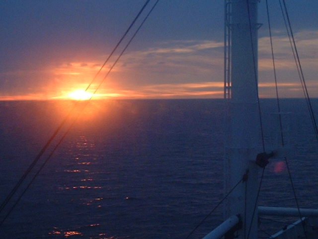
(visited by Captain Peter, Valentyn Smirnov, Volodymyr Kokorev and Volodymyr Sydorenko) 06-May-2002 -- After having visited 56°N11°E we proceeded further North, deviating a little bit from the T-Route and arrived at 57°11°E shortly before sunset. The confluence lies in the Northern Kattegat, the sea between Jylland (Denmark) and Sweden. Coming from South, we first passed the tiny island of Anholt, belonging to Denmark, and thence we proceeded towards the confluence, from which we saw the coast of Sweden and the Island of Anholt. After the visit we took a turn back to the T-Route and into the sunset. |
| All pictures |
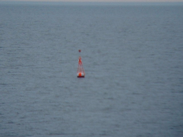
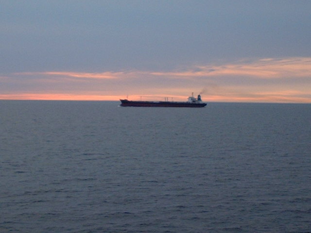
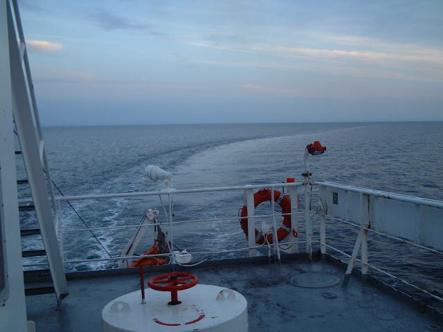
| #1: Coast of Sweden from the confluence #2: Buoy marking the T-Route, the buoyed route from the North Sea to the Baltic Sea #3: GPS #4: A southbound tanker in the Kattegat #5: Map #6: The lighthouse of Anholt on its easternmost tip #7: Anholt from the confluence #8: Turning back to the T-Route #9: Heading off into the sunset ALL: All pictures on one page |
| Notes |
|
In the Kattegat, but with a view of land. |