|

Côte d'Ivoire
1.2 km (0.7 miles) NNW of Boudépé, Agnéby, Côte d'Ivoire
Approx. altitude: 99 m
(324 ft)
([?] maps: Google MapQuest OpenStreetMap ConfluenceNavigator)
Antipode: 6°S 176°E
Quality: good
Click on any of the images for the full-sized picture.


| 6°N 4°W (visit #1) | (incomplete) |
![Visit #2: [09-Sep-06]](/ci/all/n06w004v2/preview.jpg "Visit #2: [09-Sep-06]")

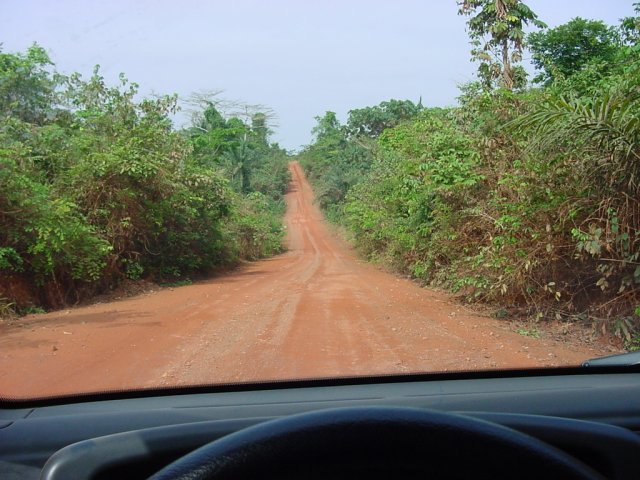
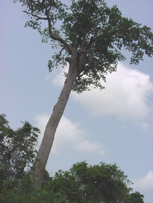
(visited by J. Baker Hill and Gail Hill) 03-Jun-2001 -- On a road trip down to the Côte d'Ivoire (Ivory Coast) I began to look for Confluences near our route. There were several, as the road down from Burkina follows the 5th west meridian for a good way. However, they were all from 10 to 20 kilometers off the pavement and no roads indicated on the map. There were two possibilities further south, however. One was 6N 5W, located within two kilometers of a dirt road and about 30 kilometers off the main north-south route. I was doubtful about the undergrowth in that part of the country however, as it was formerly rainforest. I determined to look farther afield and found a route south from Bouaké to Abidjan over to the east, and there was a Confluence, 6N 4W, just about 6 km off the main road and about a kilometer from the indicated dirt road, near the village of Boudépé. So we took the different route south. It was not too bad with the exception of about 5 km of dirt where the road just ended near Daoukro, and then some pretty bad pavement closer to Abidjan. We approached the confluence point on the afternoon of March 4, but just as I was about to turn off it began to pour down rain. We decided to continue on to Abidjan and come back the same way in a couple of days if possible. Which we did on the 6th, arriving at the town of Agou, the turnoff point, around 9 am. The pavement lasted about 2 km and then we were on a fair dirt road cutting through fairly thick growth. We arrived at the town of Boudépé with the Confluence indicated about 1.5 km north. I searched for a trail or road leading in the general direction but found none. We drove into the town and found a powerline trail leading west but it came nowhere near the point. We were not able to get closer than 1.4 km from the point. If I had had plenty of time and the proper equipment (boots, machete) I would have tried it, but we turned around. We saw another road that started out northwest and took it, but it never got closer than 3 km. So it was an attempt. Stay tuned for the first successful Confluence in Côte d'Ivoire at a later date. I grew up along the same latitudes in Nigeria and was disheartened to find that the same things are happening, that is, the rain forest is now non-existent. Every now and then there is an isolated stand of the old 100-foot trees, but they are becoming rare. The main traffic on the route we took seemed to be logging trucks taking out logs so big they could only carry three or four at a time. It is very sad. |
| All pictures |
| #1: The dirt road leading from the pavement to Boudepé #2: The end of the line at a courtyard in Boudepé #3: One of the last giant remnants of the rain forest in Côte d'Ivoire ALL: All pictures on one page |