|

United States : North Dakota
2.5 miles (4.1 km) SW of Plaza, Mountrail, ND, USA
Approx. altitude: 626 m
(2053 ft)
([?] maps: Google MapQuest OpenStreetMap topo aerial ConfluenceNavigator)
Antipode: 48°S 78°E
Accuracy: 1 m (3 ft)
Quality: good
Click on any of the images for the full-sized picture.


| 48°N 102°W (visit #1) |
![Visit #2: [25-Sep-05]](/us/nd/n48w102v2/preview.jpg "Visit #2: [25-Sep-05]")

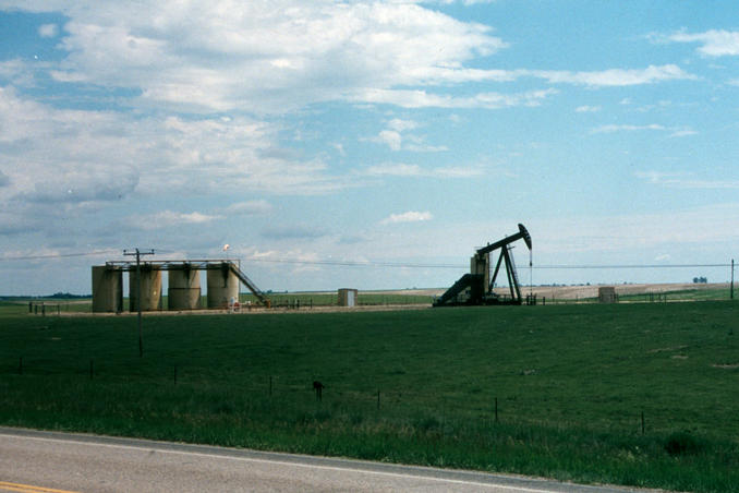
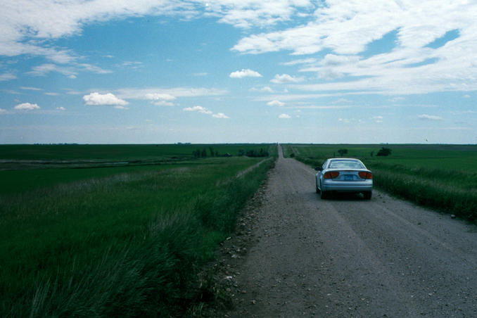
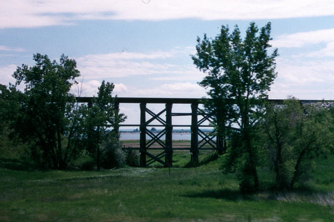
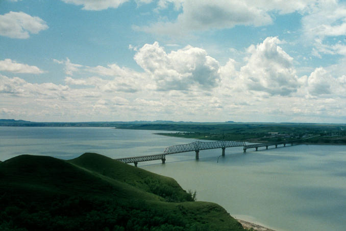
(visited by Curt Christiansen and John Alcantra) 17-Jun-2001 -- I was in North Dakota for two weddings, the first on June 16th in Minot (see 48N101W), and my own on June 22nd in Hazelton. The day after our friends wedding in Minot, I convinced my fiancee that since I wasn’t going to have the typical, guys go to the stripper bar bachelor party, that I should be allowed to spend two days bagging confluence points with my groomsman John Alcantra. She agreed and headed to her hometown of Hazelton while we headed south and east in search of our first confluence. We went south on US83 to ND23 and turned west. We went west for about 30 miles entering the Fort Berthold Reservation and turned north on a gravel road towards Plaza (in the distance in picture #3). There were many “rocking horse” oil rigs operating in this area (picture #5). Using a North Dakota Atlas and a Garmin GPS we went north 2 miles, then turned west on another gravel road. Contrary to what the atlas showed this road ended a mile east of the point. I had seen this before so we just went north a mile, west a mile, and then south for a mile and a half. A deer bolted out of the high grass along the road just before we reached the point. When we reached the 48th parallel we pulled over to the side of the road and found the confluence about 15 feet off the road in the ditch (picture #1). The 48th parallel appears to be the northern border of the Fort Berthold Reservation. After the photo taking we headed south a couple of miles (the road didn’t continue south in the atlas) back to ND23. Heading west the highway skirts the north end of Lake Sakakawea (picture #4) and after going through New Town, ND crosses the Missouri river (picture #6). (story continues at 48N103W) |
| All pictures |
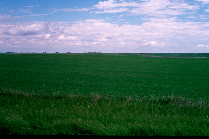
| #1: The confluence in the ditch looking south #2: Curt and John #3: Looking ENE towards Plaza 3 miles distant #4: Railroad trestle and Lake Sakakawea #5: Rocking Horse #6: The Mighy Missouri River ALL: All pictures on one page |