|

Spain : Castilla-La Mancha
2.3 km (1.4 miles) SE of Establés, Guadalajara, Castilla-La Mancha, Spain
Approx. altitude: 1213 m
(3979 ft)
([?] maps: Google MapQuest OpenStreetMap ConfluenceNavigator)
Antipode: 41°S 178°E
Accuracy: 4 m (13 ft)
Quality: good
Click on any of the images for the full-sized picture.


| 41°N 2°W (visit #1) |
![Visit #4: [13-Oct-17]](/es/all/n41w002v4/preview.jpg "Visit #4: [13-Oct-17]")
![Visit #3: [13-Oct-12]](/es/all/n41w002v3/preview.jpg "Visit #3: [13-Oct-12]")
![Visit #2: [11-Oct-07]](/es/all/n41w002v2/preview.jpg "Visit #2: [11-Oct-07]")

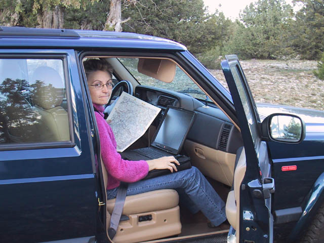
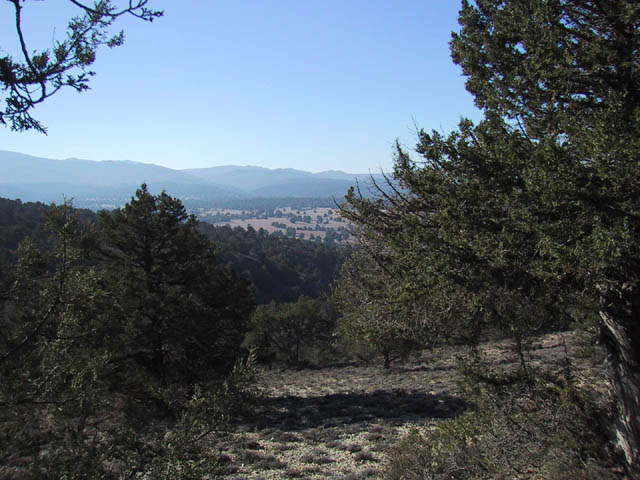
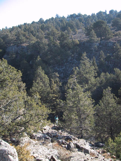
(visited by Carlos Puch, Ana-Isabel Camacho and Fidel Molinero) 01-Dec-2001 -- Ana-Isabel and I tried to reach the confluence to no avail on November 1, as we ran out of time because of the early sunset (photo 5; the computer linked to a GPS was useful during the first approach). On December 1 we went back with Fidel and finally reached the spot. A Jeep trail from the small village of Estables ends near some ruined old sheep barns ('parideras' in local languaje). From there, a decending slope with lots of savine and small oak trees, followed by some ravines (photo 1, general view) and a new ascending slope leads to a small limestone ravine (photos 2 and 3). The confluence is right there, on the northern side of the ravine, near the top. The GPS showed an estimated accuracy of 4 meters (photo 4). |
| All pictures |
| #1: General view of confluence area #2: The ravine #3: The ravine #4: GPS #5: Computer/GPS navigation ALL: All pictures on one page |