|

Saudi Arabia : al-Šarqiyya
83.7 km (52.0 miles) ESE of al-Khunn, al-Šarqiyya, Saudi Arabia
Approx. altitude: 141 m
(462 ft)
([?] maps: Google MapQuest OpenStreetMap ConfluenceNavigator)
Antipode: 23°S 130°W
Accuracy: 5 m (16 ft)
Quality: good
Click on any of the images for the full-sized picture.


| 23°N 50°E (visit #1) |
![Visit #2: [18-Jan-16]](/sa/all/n23e050v2/preview.jpg "Visit #2: [18-Jan-16]")
.")
(visited by Alistair Rausch, Sean Rausch, Bob Knight, Carl Ekholm, Doug Mackie, Peter Lenthall, Roger Webb and Tapio Leino) 14-Dec-2001 -- During the `Īd al-Fiṭr, at the end of the month of Ramaḍān, a group of expatriate residents of Saudi Arabia went trekking for six days (13–18 December 2001) into the North, West and Central sectors of the Rub` al-Khāliy desert (the Empty Quarter). The objective was to enjoy the freedom of the desert, drive in the dunes and to meet the challenges of visiting such an inhospitable environment. Each vehicle set off laden with well over three hundred litres of fuel, a hundred litres of water, vehicle spares, camping equipment, food and a cheerful mood. The five vehicles travelled the three hundred kilometres of tar east from Riyāḍ to the one-camel town of Ḥaraḍ, and then proceeded off-road for more than a thousand kilometres across the desert, before emerging near al-Badi', more than three hundred kilometres south of Riyāḍ. Leaving the tar, the journey took us southwest to the government water point where we managed to purchase some precious fuel at the unreliable Nadqān. Heading south we visited another government water point at Šalfa but were unable to obtain any further fuel there, nor for the remainder of the desert portion of the journey. One of our loose aims was to visit a degree confluence; the most convenient being 23N 50E, north of Madīnat al-Malik Fahd al-Sāḥiliyya. Saudi Arabian maps use one of three datums: World Geodetic System 1984 (WGS-84), `Ayn al-`Abd 1970 (AAA-70), and Narhwan. We set some of our GPS receivers to the GPS factory default WGS-84 datum, and some to the locally used AAA-70 datum used by Saudia Arabia’s National Grid Network. We then used the degree confluence visit to determine the linear difference between the two datums. We ended up at the exact confluence points in a gypsum hollow with the two groups about 100 m apart – a typical variation. The landscape around was typical of this area where the rock has a gypsum surface (being evaporated salt). There were gently undulating gypsum hillocks interspersed with small depressions of mixed sand and gypsum surface soil. Plant life was sparse and there was no surface dampness. This was a very desolate spot. |
| All pictures |
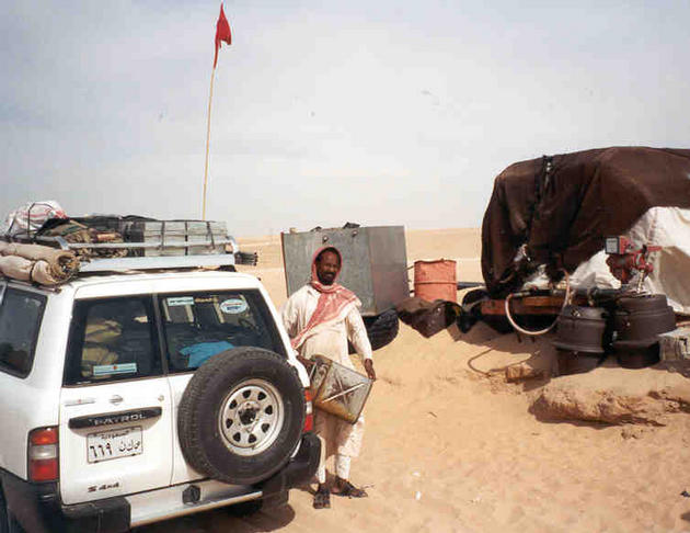
| #1: The photographs that were taken at the Confluence were unremarkable in their unremarkableness. This one shows the difference between the datums. Notice the AAA inscribed in the sand (look very carefully). #2: This one shows the difference between the datums from the opposite direction. As you can see by the background, the area is very bleak. #3: The last fuel station at Nadqān was simple to say the least. The fuel was gravity fed from an old tanker that had been dumped on top of a sand dune. The fuel went into a jerrycan and then was poured into the vehicle. #4: The joy of the early morning camp is unsurpassed. #5: The dune-lines were frequent, but the dunes were never very high. #6: However, the sand was often very soft. #7: The freedom of driving in the Empty Quarter with no habitation for hundreds of kilometres in every direction, is exhilarating. ALL: All pictures on one page |