|

Spain : Navarra
1.9 km (1.2 miles) S of Gaínza, Navarra, Spain
Approx. altitude: 719 m
(2358 ft)
([?] maps: Google MapQuest OpenStreetMap ConfluenceNavigator)
Antipode: 43°S 178°E
Accuracy: 397 m (434 yd)
Quality: good
Click on any of the images for the full-sized picture.


| 43°N 2°W (visit #1) | (incomplete) |
![Visit #4: [04-May-23]](/es/all/n43w002v4/preview.jpg "Visit #4: [04-May-23]")
![Visit #2: [23-Apr-04]](/es/all/n43w002v2/preview.jpg "Visit #2: [23-Apr-04]")
![Visit #3: [05-Oct-19]](/es/all/n43w002v3/preview.jpg "Visit #3: [05-Oct-19]")

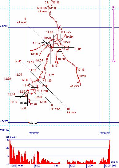
(visited by Michel Dupuis) 26-Apr-2002 -- It's not so easy to find detailed Spain maps in France, and thus I left for 43N002W with the sole Michelin 1/400 000 map number 442. The confluence is south of the road N 240 from Tolosa to Pamplona beyond a dead end road going to the small place of INZA (or Intza) in Navarra. And beyond this place towards the confluence is the Sierra de Aralar culminating at 1431 meters, as the valley of the Rio Araxes is at about 500 meters ! So arriving to Inza I try to get the closest possible access by car using the GPS, (see recorded track picture 2), which brings me to try all local roads starting from the village and awaking ten or more barking dogs (one in each farm at least !) even if no local inhabitant. You can see on the recorded track that in fact no road takes to the spot closer than 1200 meters. The aerea is really not flat, and it's not possible to pass through the meadows close to the farms due to fences and dogs. I endly leave the car close to a little bridge (N43° 00.795 W001° 59.764, picture 3), 1530 meters from the point, and start walking out of the village to the mountain along the brook (picture 4). This brings me after several meadows with sheep to a forest aerea coming steeper and steeper with no clear indication of how to get the best result in both altitude and direction. Having left the car at 11h10, I endly arrive at 12h15… at the foot of a nearly vertical cliff (N43° 00.214 W002° 00.001, picture 6) and the distance to the point is still 397 meters. I'm quite exhausted, dogs are still barking around in the valley, I see no way to properly walk around the cliff, and I'm afraid it's still sensibly higher than my position. So I forsake at 12h23 and come back to the car. Getting to the spot is probably possible, but needs a good physical condition and a good map study to take best advantage of the few paths in the forest and progress efficiently. |
| All pictures |
| #1: The confluence is 397 meters this way #2: Track of the search #3: End of the road for the car #4: The confluence aerea is shown in red #5: The confluence aerea seen from the other side of Inza #6: End of the road for today #7: gps ALL: All pictures on one page |