|

South Africa : Limpopo
11.0 km (6.8 miles) ENE of Louis Trichardt, Limpopo, South Africa
Approx. altitude: 1187 m
(3894 ft)
([?] maps: Google MapQuest OpenStreetMap ConfluenceNavigator)
Antipode: 23°N 150°W
Accuracy: 5 m (16 ft)
Quality: good
Click on any of the images for the full-sized picture.


| 23°S 30°E (visit #1) |
![Visit #2: [05-Jan-05]](/za/all/s23e030v2/preview.jpg "Visit #2: [05-Jan-05]")
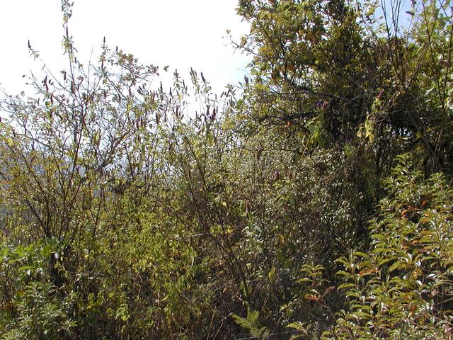
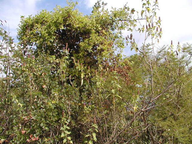
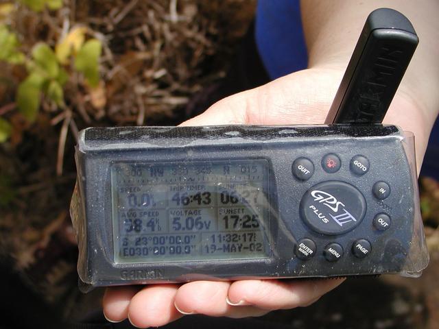
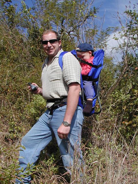
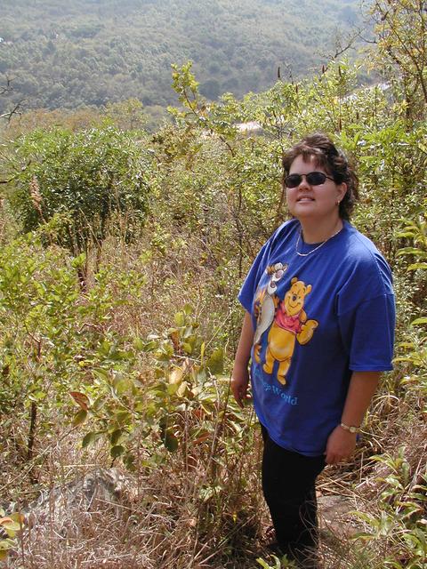
 (visited by Johan Meyer, Ina Meyer and Stéfan Meyer) 18-May-2002 -- For our first attempt at finding a Confluence, I decided to go to an area that I am fairly familiar with and where a Confluence appeared to be fairly close to existing roads. The location of 23S 30E looked invitingly close to the National Road that leads past Louis Trichardt on its way to Zimbabwe. It would also be the perfect excuse to get away for the weekend and explore a little bit of the Soutpansberg mountain area. We stayed over at a lovely place called Lesheba Wilderness. It is a game farm high up in the Soutpansberg mountain. There are lots of animals to see including giraffe and rhino. The most amazing vistas of the mountain and valleys surprise you on the various walks. We left the Lesheba Wilderness camp where we had stayed overnight just after breakfast on Sunday morning. The mist had just started to lift in the valleys. It took about forty-five minutes of slow low-range 4x4 driving to negotiate our way down the mountain. On the 1:1,500,000 map I had, the point we were aiming for appeared to be quite close to the National road where it cuts through the mountain. I was hoping that we wouldn’t have to do too much walking in the thick bush that grows with abandonment in this mountainous area. Fortune favoured us and we found a gravel road that we followed to within 2.5 km from the coordinates we were aiming for, located on a fenced property. We drove up to the owner’s house, explained our undertaking and with camera, GPS and spare batteries set of with Stéfan riding comfortably on my back. We found a footpath that lead down the mountain in the general direction of the Confluence and we slowly followed that stepping over boulders and trying to avoid the thorny bush as much as possible. We found the coordinates after about 45 minutes of walking down a ravine overlooking a lovely valley. We discovered that we could walk to within a couple of meters of an exact reading on the GPS, in an area surrounded by a very dense clutch of thorn bush. The last bit was slow going, picking our path through the thorn bush. Picture 1 is a Panorama of the valley to the West, with the National road to Zimbabwe just visible. Picture 2, 3 and 4 show the three directions starting at North going clockwise. Picture 5 shows the GPS reading. Picture 6 and 7 shows me carrying Stéfan, while Stéfan comments on the outing as well as Ina looking well pleased at finding the coordinates. |
| All pictures |
| #1: Panorama of the valley to the West #2: View to the North #3: View to the East #4: View to the South #5: View of the GPS #6: Johan and Stéfan #7: Ina ALL: All pictures on one page |