|

South Africa : Northern Cape
13.3 km (8.3 miles) WSW of Carnarvon, Northern Cape, South Africa
Approx. altitude: 1299 m
(4261 ft)
([?] maps: Google MapQuest OpenStreetMap ConfluenceNavigator)
Antipode: 31°N 158°W
Accuracy: 6 m (19 ft)
Quality: good
Click on any of the images for the full-sized picture.


| 31°S 22°E |

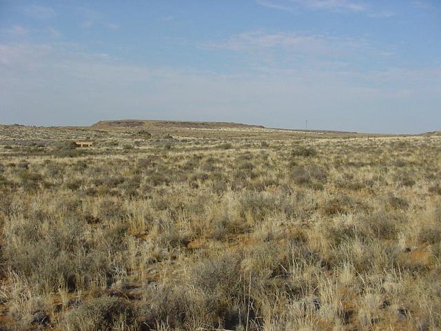
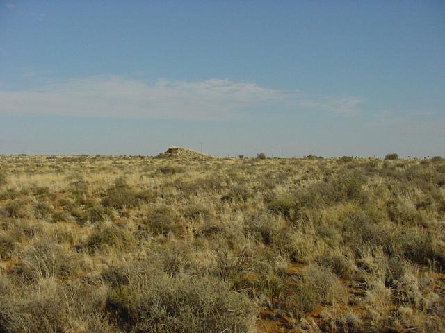
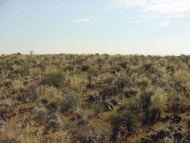
(visited by Jawn Goosen) 06-Jul-2002 -- This Confluence is 12 kilometres outside Carnarvon. It's only 437 metres off the road and easy to get to. Jumped over the fence and picked my way through some prickly pear plants and over a "koppie" (a slight hillock). It lies between the road and a railway line, which I think may no longer be in use. I took four pictures east, south, west, and north. Carnarvon lies to the east. |
| All pictures |
| #1: View east from Confluence #2: View south from Confluence #3: View west from Confluence #4: View north from Confluence ALL: All pictures on one page |