|

Russia : Respublika Tatarstan
3.8 km (2.4 miles) NW of Starye Chelny, Respublika Tatarstan, Russia
Approx. altitude: 134 m
(439 ft)
([?] maps: Google MapQuest OpenStreetMap ConfluenceNavigator)
Antipode: 55°S 130°W
Accuracy: 10 m (32 ft)
Quality: good
Click on any of the images for the full-sized picture.


| 55°N 50°E (visit #1) | (secondary) |
![Visit #3: [15-Jun-19]](/ru/all/n55e050v3/preview.jpg "Visit #3: [15-Jun-19]")
![Visit #2: [01-Aug-06]](/ru/all/n55e050v2/preview.jpg "Visit #2: [01-Aug-06]")

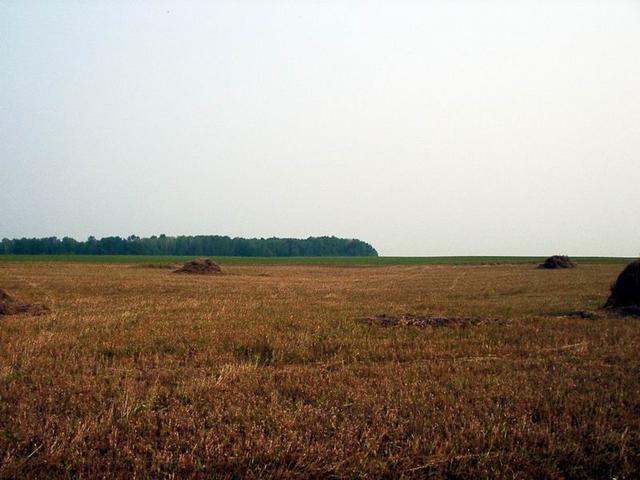
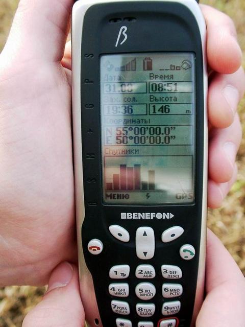
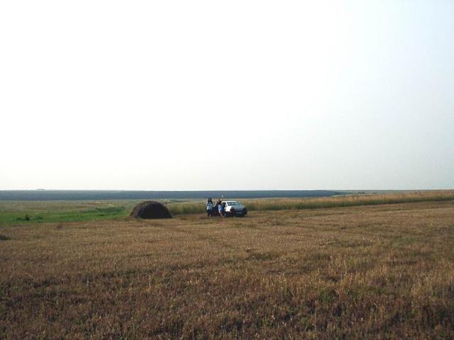
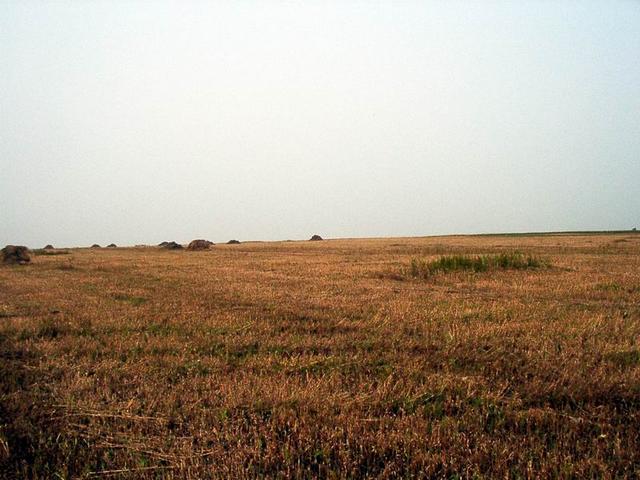
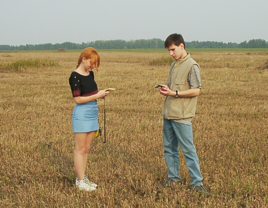
(visited by Renat Zagretdinov) 31-Aug-2002 -- Visiting 55°N 50°E confluence point 4.8 km E of Kargopol, Al’keevskiy Rayon, Respublika Tatarstan, Russia On 31 of August 2002 at early morning I drove out with my family from Kazan to Bolgar to visit 55°N 49°E CP and archaeological cites of Bolgar. Our road passed through Sorochie Gory (ferry over the river Kama) and Bazarny Mataki. Secondary CP 55°N 50°E was just a few kilometers from our road, so we decided firstly to inspect this point. The day was just fine, we passed through Kargopol and entered to recently harvested field. Big hare was the only one who welcomed us near confluence point. Few piles of straw surrounded the confluence point. I checked our position by GSM+GPS phone Benefon Esc! and took the pictures to the North and to the West. Then I taught my son and daughter how to use the GPS navigator to find the confluence points. After small lunch we continued our journey to Bolgar. |
| All pictures |
| #1: Point between piles of straw #2: Map #3: Hare #4: GPS #5: South direction #6: West direction #7: Son and daughter with GPS navigators ALL: All pictures on one page |