
| { Main | Search | Countries | Information | Member Page } | |
Scott Surgent's confluences |
| Surgent, Scott | homepage | |
| This Visitor does not have any Plans. | View confluence map | |
| 28 visits (28 unique) | 28 active, 0 pending, 0 submitting | |
| 27 successful (27 unique): | 27 primary, 0 secondary | |
| 1 incomplete (1 unique): | 1 primary, 0 secondary | |
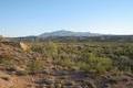
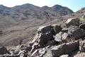
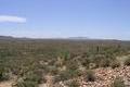
 | 34°N 107°W 6.6 miles (10.6 km) W of Laborcita, Socorro, NM, USA [27-Jul-23] |
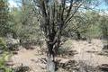
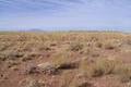
 | 35°N 106°W 2.9 miles (4.6 km) ENE of Moriarty, Torrance, NM, USA [23-Jun-16] |
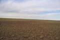
 | 44°N 92°W 2.8 miles (4.5 km) NW of Utica, Winona, MN, USA [22-Jun-15] |
 | 44°N 93°W 3.1 miles (5.0 km) S of Claremont, Dodge, MN, USA [incomplete] [20-Jun-15] |
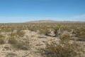
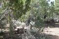
 | 37°N 114°W 8.8 miles (14.2 km) NNW of Littlefield, Mohave, AZ, USA [12-Oct-13] |
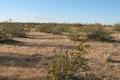
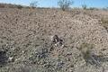
 | 33°N 109°W 12.7 miles (20.5 km) ENE of Three Way (AZ), Grant, NM, USA [10-May-11] |
 | 35°N 115°W 23.0 miles (37.0 km) NNE of Essex, San Bernardino, CA, USA [06-Jan-11] |
 | 35°N 118°W 10.5 miles (16.9 km) ESE of Mojave, Kern, CA, USA [23-May-10] |
 | 36°N 115°W 2.3 miles (3.7 km) S of Henderson, Clark, NV, USA [13-Feb-10] |
 | 38°N 114°W 1.7 miles (2.7 km) W of Hamlin Valley, Iron, UT, USA [04-Aug-09] |
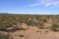
 | 34°N 114°W 4.7 miles (7.5 km) N of Bouse, La Paz, AZ, USA [15-Feb-09] |
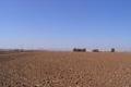 | 33°N 112°W 5.0 miles (8.1 km) SE of Maricopa, Pinal, AZ, USA [01-Jan-07] |
 | 32°N 112°W 9.2 miles (14.8 km) NW of Sells, Pima, AZ, USA [01-Jan-07] |
 | 32°N 111°W 3.9 miles (6.3 km) NW of Sahuarita, Pima, AZ, USA [18-Nov-06] |
 | 36°N 111°W 16.4 miles (26.4 km) SE of Tuba City, Coconino, AZ, USA [19-May-06] |
 | 33°N 107°W 12.3 miles (19.8 km) S of Engle, Sierra, NM, USA [16-May-06] |
 | 33°N 111°W 6.6 miles (10.6 km) SW of Kearny, Pinal, AZ, USA [23-Apr-06] |
 | 35°N 111°W 17.2 miles (27.7 km) W of Winslow (Navajo), Coconino, AZ, USA [02-Jan-06] |
 | 35°N 110°W 11.2 miles (18.1 km) NE of Holbrook, Navajo, AZ, USA [01-Jan-06] |
 | 31°N 105°W 5.4 miles (8.7 km) S of Allamoore, Hudspeth, TX, USA [18-Dec-05] |
 | 34°N 113°W 15.6 miles (25.1 km) W of Wickenburg (Maricopa), Yavapai, AZ, USA [11-Dec-05] |
 | 33°N 110°W 3.3 miles (5.3 km) SW of Fort Thomas, Graham, AZ, USA [30-Oct-05] |
 | 34°N 111°W 7.3 miles (11.7 km) SSW of Young, Gila, AZ, USA [18-Sep-05] |
 | 38°N 118°W 6.7 miles (10.8 km) WSW of Coaldale, Esmeralda, NV, USA [14-Aug-05] |
 | 37°N 113°W 1.5 miles (2.4 km) NW of Colorado City, Mohave, AZ, USA [21-May-05] |
 | 33°N 115°W 27.8 miles (44.8 km) NW of Winterhaven, Imperial, CA, USA [27-Mar-05] |
 | 36°N 116°W 15.4 miles (24.8 km) E of Shoshone, Inyo, CA, USA [14-Mar-05] |
 | 33°N 113°W 26.3 miles (42.4 km) SW of Arlington, Maricopa, AZ, USA [13-Jan-05] |