
| { Main | Search | Countries | Information | Member Page } | |
Eric C. Lincoln's confluences |
| Lincoln, Eric C. | homepage | |
| This Visitor does not have any Plans. | View confluence map | |
| 17 visits (17 unique) | 17 active, 0 pending, 0 submitting | |
| 16 successful (16 unique): | 16 primary, 0 secondary | |
| 1 incomplete (1 unique): | 1 primary, 0 secondary | |
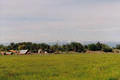
 | 47°N 124°W 5.4 miles (8.7 km) WNW of Hoquiam, Grays Harbor, WA, USA [03-Jan-05] |
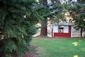
 | 47°N 123°W 1.7 miles (2.7 km) NE of Delphi, Thurston, WA, USA [03-Jan-05] |
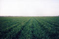
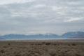 | 40°N 112°W 2.9 miles (4.8 km) NW of Elberta, Utah, UT, USA [28-Dec-04] |
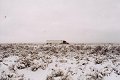
 | 41°N 111°W 18.6 miles (29.9 km) S of Evanston, Uinta, WY, USA [27-Dec-04] |
 | 40°N 75°W 1.1 miles (1.8 km) SE of Riverton, Burlington, NJ, USA [10-Jul-03] |
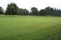
 | 47°N 122°W 6.0 miles (9.7 km) SSE of Carbonado, Pierce, WA, USA [15-Jul-02] |
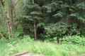 | 48°N 122°W 2.5 miles (4.0 km) NE of Machias, Snohomish, WA, USA [20-May-02] |
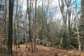 | 42°N 73°W 1.6 miles (2.6 km) WSW of West Hartland, Hartford, CT, USA [12-Nov-01] |
 | 42°N 116°W 6.2 miles (10.0 km) NE of Owyhee (NV), Owyhee, ID, USA [23-Oct-01] |
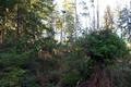
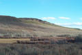
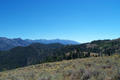 | 45°N 114°W 13.3 miles (21.4 km) SW of Salmon, Lemhi, ID, USA [25-Aug-01] |
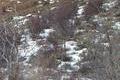
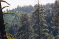 | 44°N 116°W 4.7 miles (7.6 km) NW of Placerville, Boise, ID, USA [incomplete] [09-Jun-01] |
 | 40°N 111°W 23.1 miles (37.2 km) NNW of Helper (Carbon), Wasatch, UT, USA [02-Jun-01] |
 | 42°N 113°W 15.1 miles (24.3 km) WNW of Snowville (UT), Oneida, ID, USA [01-Jun-01] |
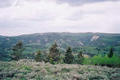
 | 45°N 118°W 4.4 miles (7.0 km) SE of North Powder, Union, OR, USA [26-May-01] |
 | 44°N 117°W 2.6 miles (4.2 km) SW of Ontario, Malheur, OR, USA [06-May-01] |
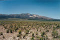
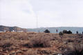 | 37°N 113°W 1.5 miles (2.4 km) NW of Colorado City, Mohave, AZ, USA [16-Feb-01] |
 | 38°N 113°W 14.1 miles (22.8 km) NNW of Summit, Iron, UT, USA [14-Feb-01] |