|


Spain : Aragón
3.4 km (2.1 miles) ENE of Valdealgorfa, Teruel, Aragón, Spain
Approx. altitude: 539 m
(1768 ft)
([?] maps: Google MapQuest OpenStreetMap ConfluenceNavigator)
Antipode: 41°S 180°
Accuracy: 2 m (6 ft)
Quality: good
Click on any of the images for the full-sized picture.
| 41°N 0° (visit #6) |
![Visit #5: [12-Oct-18]](/es/all/n41e000v5/preview.jpg "Visit #5: [12-Oct-18]")
![Visit #4: [15-Oct-17]](/es/all/n41e000v4/preview.jpg "Visit #4: [15-Oct-17]")
![Visit #3: [19-Jul-11]](/es/all/n41e000v3/preview.jpg "Visit #3: [19-Jul-11]")
![Visit #2: [04-Feb-06]](/es/all/n41e000v2/preview.jpg "Visit #2: [04-Feb-06]")
![Visit #1: [02-Feb-02]](/es/all/n41e000/preview.jpg "Visit #1: [02-Feb-02]")
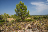
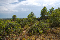
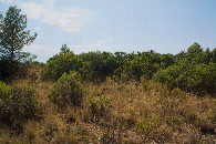
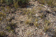
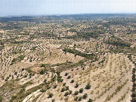
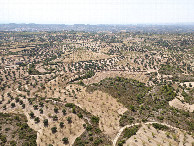
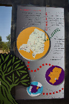
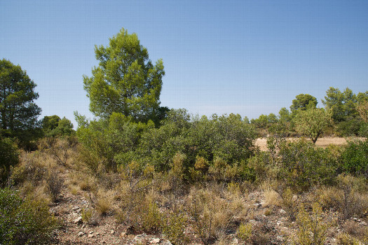 (visited by Ross Finlayson) 02-Aug-2026 -- I’m currently on a 2-week vacation in northern Spain, which I hope will culminate with the total solar eclipse on August 12th (perhaps viewing it from some other Degree Confluence Point not far from here). While driving on the long, 2-lane highway between Tarragona and Zaragosa, I stopped at the roadside turnout with a sign marking the “Greenwich Meridian” (which actually differs sightly from the "Prime Meridian"; the WGS84 coordinates of the sign are [40.98105,-0.00071]). The Degree Confluence Point lies about 2km to the North. Conveniently, a narrow dirt road - leading to the point - starts just a few meters away from the “Greenwich Meridian” sign. After about 1km, this narrow dirt road inexplicably turned into a narrow paved road. Then, about 400m from the point, I took a gravel road that passed less than 100m from the point, which lies in a scrub-filled clearing. (I was very happy that I didn't have to walk far to reach the point, because it was a very hot day - around 40C!) The vegetation here looked very similar to that found in dry areas of the western U.S., except for the numerous olive trees that are planted in the surrounding area. Here is a remote-controlled aerial video of this confluence point. |
| All pictures |
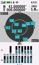
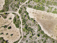
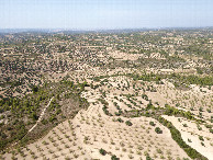
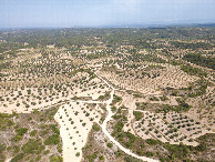
| #1: The confluence point lies in a scrub-filled clearing. (This is also a view to the North.) #2: View East #3: View South #4: View West #5: Ground cover at the confluence point #6: All zeros! (GPS+Galileo+BeiDou) #7: Looking down on the point from a height of 120m #8: View North, from 120m above the point #9: View East, from 120m above the point #10: View South, from 120m above the point #11: View West, from 120m above the point #12: A sign (about 2km South of the point) marking the "Greenwich Meridian” ALL: All pictures on one page |