|


Greenland : Vestgrønland/Kitaa
12.5 km (7.8 miles) NNW of Sarfannguaq, Vestgrønland, Greenland
Approx. altitude: 299 m
(980 ft)
([?] maps: Google MapQuest OpenStreetMap ConfluenceNavigator)
Antipode: 67°S 127°E
Accuracy: 3 m (9 ft)
Quality:
Click on any of the images for the full-sized picture.
| 67°N 53°W (visit #3) | (secondary) |
![Visit #2: [04-Jul-13]](/gl/all/n67w053v2/preview.jpg "Visit #2: [04-Jul-13]")
![Visit #1: [16-Jul-06]](/gl/all/n67w053/preview.jpg "Visit #1: [16-Jul-06]")
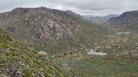
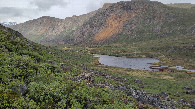
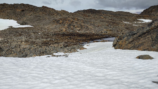 (visited by Thomas Barthel) 24-Jun-2026 -- During our holidays on Greenland, for hiking the “Arctic Circle Trail” from Kangerlussuaq to Sisimiut, I had the chance to visit three confluence points. The story follows the previous visit at CP 67° N 52° W. This is the third and last visit during our holidays and it took place at 67° N 53° W, located close to the top of a mountain. On the ninth day of our hike on the Arctic Circle Trail we reached the vicinity of the confluence point 67° N 53° W by passing a huge valley named “Nerumaq”. From there I realised the nameless confluence mountain already from the distance by knowledge of the map and a photo from a previous visit. As we got closer to the mountain, I saw a creek on the north east side that offered a good ascent. After having a break in the hut Nerumaq we crossed the creek and left the trail for reaching the base of the mentioned creek on the northeastern mountain slope. From this point on I left the backpack and started the climb at the right side of the creek, seen from below, direction SW. Soon I decided to leave the creek direction top, respectively direction CP. But that was too early and so I got stuck in a height of 580 m. It was too steep with a very loose ground. I had no climbing equipment with me. After a descent of around 20 metres and climbing more direction south I found a green line leading upwards caused by an other smaller creek. Due to the moss and the small plants the ground was more safe and with this the ascent much easier. Then, in a height of around 600 m, I reached a high plateau, spread with loose snow fields on it. There it is possible to walk. I saw a reindeer path and some horns. After nearly 1 km way on that plateau, interrupted by smaller climbs, I reached the closer area of the confluence point 67°N 53° W. It is located in a mall mountain basin with a boggy and stony centre, surrounded by snowfields. By starting at a height of about 150 m and standing now at 800 m I felt the lower temperature clearly. Under good weather conditions I could take the needed pictures at the CP 67° N 53° W. On my way back I followed the upper creek a longer time direction SE, which made the descent much more safe, and later the second one direction NE. On the descent I had a breathtaking view into the valley we came through. Back on the ACT it lead us around the “confluence mountain”, from the NE to the North and further to the west of it. On a “sagamaps” from 2001 I found the name “Qârajugtoq” for this mountain range. This visit was very sporty and the last one of our Greenland vacation. |
| All pictures |
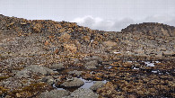
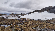
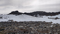
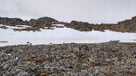
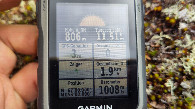
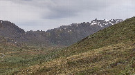
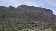
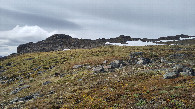
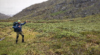
| #1: location of CP 67N-53W 49 m from S #2: view to the north #3: view to the east #4: view to the south #5: view to the west #6: GNSS reading at 67N-53W #7: view to the mountain range with the confluence on its top #8: way up along the creek in the middle of the photo #9: beginning of the high plateau #10: ACT down in the valley #11: hut Nerumaq in the middle of the photo #12: happy visitor ALL: All pictures on one page |