|


Slovenia
1.2 km (0.7 miles) NW of Tihaboj, Slovenia
Approx. altitude: 469 m
(1538 ft)
([?] maps: Google MapQuest OpenStreetMap ConfluenceNavigator)
Antipode: 46°S 165°W
Accuracy: 2 m (6 ft)
Quality: good
Click on any of the images for the full-sized picture.
| 46°N 15°E (visit #9) |
![Visit #8: [06-Aug-22]](/si/all/n46e015v8/preview.jpg "Visit #8: [06-Aug-22]")
![Visit #7: [23-Dec-18]](/si/all/n46e015v7/preview.jpg "Visit #7: [23-Dec-18]")
![Visit #6: [29-Aug-13]](/si/all/n46e015v6/preview.jpg "Visit #6: [29-Aug-13]")
![Visit #5: [10-Aug-12]](/si/all/n46e015v5/preview.jpg "Visit #5: [10-Aug-12]")
![Visit #4: [02-Apr-11]](/si/all/n46e015v4/preview.jpg "Visit #4: [02-Apr-11]")
![Visit #3: [04-Aug-05]](/si/all/n46e015v3/preview.jpg "Visit #3: [04-Aug-05]")
![Visit #2: [28-Dec-01]](/si/all/n46e015v2/preview.jpg "Visit #2: [28-Dec-01]")
![Visit #1: [11-Nov-01]](/si/all/n46e015/preview.jpg "Visit #1: [11-Nov-01]")
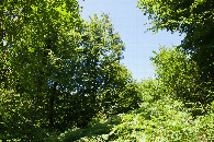
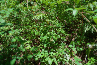
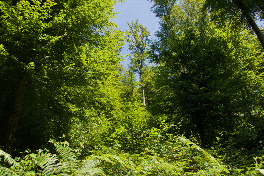 (visited by Ross Finlayson) 25-Jul-2026 -- While driving from Maribor to Ljubljana (while on a short vacation in Slovenia), I made a detour to visit this Degree Confluence Point. After driving through the scenic Sava River Valley (where I was impressed by the dedicated cycle lanes built beside the road), I climbed up a winding mountain road to the South, passing through the small, rustic towns of Polšnik, Velika Preska, Čeplje, and Brezovo, just North of the point. I was helped by Open Street Map (loaded onto my GPS receiver), which showed a path starting at [46.00314,14.99552], about 500m NW of the point. I parked here, and hiked down the rock-strewn path, and then took a sharp right turn onto another path at [46.00477,14.99821], about 550m North of the point. This second path (much more overgrown than the first), drops down beside a small creek, eventually (after crossing some tricky treefalls) passing just 40 meters West of the point. The point lies on a West-facing slope, strewn with bracken fern and blackberry vines. (I’m glad I took the advice of a previous visitor and wore long trousers.) This is at least the third country where I can remember having to negotiate blackberry vines while visiting a Degree Confluence Point; I had to do the same while visiting points in Ireland and the USA (Oregon). By stepping just a few feet away, I was able to find a clearing in the tree canopy where I could fly my drone. Here is a remote-controlled aerial video of this confluence point. |
| All pictures |
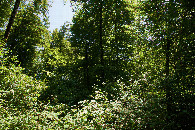
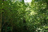
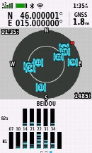
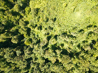
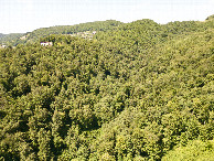
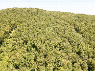
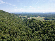
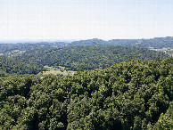
| #1: The confluence point lies on a forested slope, covered with bracken fern and blackberry vines. (This is also a view to the East.) #2: View North #3: View South #4: View West #5: Ground cover at the confluence point #6: As close to all zeros as I could get (GPS+Galileo+BeiDou) #7: Looking down on the point from a height of 120m #8: View North, from 120m above the point #9: View East, from 120m above the point #10: View South, from 120m above the point #11: View West, from 120m above the point ALL: All pictures on one page |