|


Spain : Castilla y León
3.3 km (2.0 miles) NE of Quintanar de la Sierra, Burgos, Castilla y León, Spain
Approx. altitude: 1284 m
(4212 ft)
([?] maps: Google MapQuest OpenStreetMap ConfluenceNavigator)
Antipode: 42°S 177°E
Accuracy: 2 m (6 ft)
Quality: good
Click on any of the images for the full-sized picture.
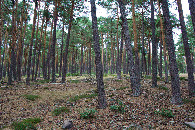
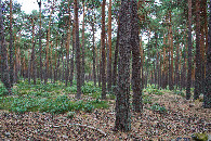
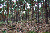
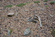
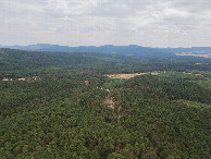
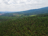
| 42°N 3°W (visit #5) |
![Visit #4: [28-Apr-23]](/es/all/n42w003v4/preview.jpg "Visit #4: [28-Apr-23]")
![Visit #3: [29-Jul-15]](/es/all/n42w003v3/preview.jpg "Visit #3: [29-Jul-15]")
![Visit #2: [11-Oct-07]](/es/all/n42w003v2/preview.jpg "Visit #2: [11-Oct-07]")
![Visit #1: [16-Aug-01]](/es/all/n42w003/preview.jpg "Visit #1: [16-Aug-01]")
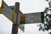
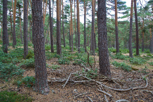 (visited by Ross Finlayson) 03-Aug-2026 -- While on a long drive from Zaragoza to Burgos, I decided to skip [42,-2], because it looked like it might take a long time. (I may attempt it during the return leg of my trip.) But I was intrigued by this Degree Confluence Point just southeast of Burgos, because - lying within a forest - it seemed quite different to the other Spanish points that I had visited. (It also has the distinction of being one of the very few Western European Degree Confluence Points yet to be visited by Rainer Mautz :-) After passing through the small town of Quintenar de la Sierra (where I was intrigued by the sight of a horse standing, untethered, on the footpath beside the main street), I turned onto a gravel road that climbed up a hill, passing just 500m NW of the point. I figured, though, that this was not a good place to start, because the point likely lay further down the hill. So I turned around and drove back down the hill, and parked beside a signed hiking trail at [42.00147,-3.00943], about 800m West of the point. The hike was easy, except at the start (and on returning) I was besieged by tiny flies. (Their presence is likely due to animal manure on the ground nearby.) The forest was easy to hike through, as the pine trees were spaced quite far apart. I have been in Degree Confluence Points in pine forests throughout the world, but this is one of the few in which the pines were growing naturally, rather than having been planted in neat rows. Fortunately I was able to find a clearing nearby to fly my drone. Here is a remote-controlled aerial video of this confluence point. |
| All pictures |
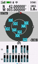
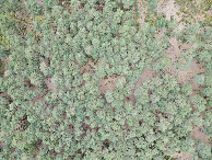
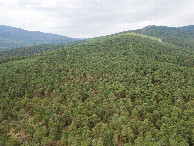
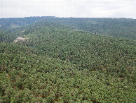
| #1: The confluence point lies in a pine forest (This is also a view to the East.) #2: View North #3: View South #4: View West #5: Ground cover at the confluence point #6: All zeros! (GPS+Galileo+BeiDou) #7: Looking down on the point from a height of 120m #8: View North, from 120m above the point #9: View East, from 120m above the point #10: View South, from 120m above the point #11: View West, from 120m above the point #12: The sign (indicating a hiking path) where I parked, 800m West of the point ALL: All pictures on one page |
| Notes |
|
In the Sierra de la Demanda natural parc. |