|


Spain : Castilla-La Mancha
2.3 km (1.4 miles) SE of Establés, Guadalajara, Castilla-La Mancha, Spain
Approx. altitude: 1213 m
(3979 ft)
([?] maps: Google MapQuest OpenStreetMap ConfluenceNavigator)
Antipode: 41°S 178°E
Accuracy: 2 m (6 ft)
Quality: good
Click on any of the images for the full-sized picture.
| 41°N 2°W (visit #5) |
![Visit #4: [13-Oct-17]](/es/all/n41w002v4/preview.jpg "Visit #4: [13-Oct-17]")
![Visit #3: [13-Oct-12]](/es/all/n41w002v3/preview.jpg "Visit #3: [13-Oct-12]")
![Visit #2: [11-Oct-07]](/es/all/n41w002v2/preview.jpg "Visit #2: [11-Oct-07]")
![Visit #1: [01-Dec-01]](/es/all/n41w002/preview.jpg "Visit #1: [01-Dec-01]")
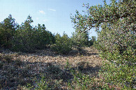
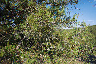
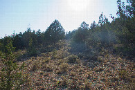
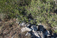
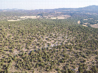
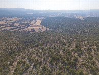
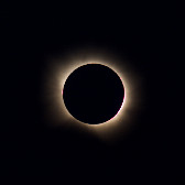
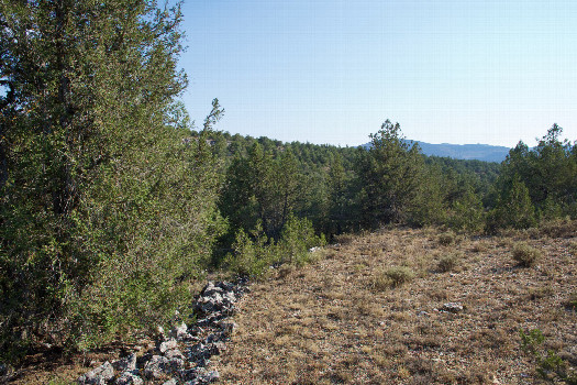 (visited by Ross Finlayson) 12-Aug-2026 -- From [41,-1], I drove westward across a sparsely-populated part of Spain, with large farms, scrub-covered hills, and only a few, scattered towns (mostly small, picturesque villages). Eventually, near the village of Concha, I turned South, then West to take a narrow gravel road that eventually passed more than 600m North of the point. I parked at [41.00589,-1.99871] - 665m North of the point - and started hiking, through thinly-spaced trees. The hike was surprisingly easy, despite temperatures in the high 30s C. (Once again, I was reminded of the western U.S.) The point lay at the base of a small tree, next to the remnants of an old stone wall. Here is a remote-controlled aerial video of this confluence point. I had originally planned to watch the total solar eclipse from here, but there were still 90 minutes to go until totality, so I started driving back towards my hotel in Jaraba. I ended up stopping to watch the eclipse from the village of Milmarcos, about 13km NE of the point. |
| All pictures |
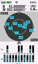
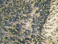
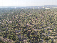
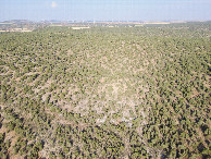
| #1: The confluence point lies in a wooded area, next to the remnants of an old stone wall. (This is also a view to the South.) #2: View North #3: View East #4: View West #5: Ground cover at the confluence point #6: As close to all zeros as I could get (GPS+Galileo+BeiDou) #7: Looking down on the point from a height of 120m #8: View North, from 120m above the point #9: View East, from 120m above the point #10: View South, from 120m above the point #11: View West, from 120m above the point #12: The total solar eclipse, viewed from nearby, 90 minutes later ALL: All pictures on one page |