|

Botswana : Southern
14.0 km (8.7 miles) SE of Sevrelela, Southern, Botswana
Approx. altitude: 1232 m
(4041 ft)
([?] maps: Google MapQuest OpenStreetMap ConfluenceNavigator)
Antipode: 25°N 155°W
Accuracy: 10 m (32 ft)
Quality: more pictures needed
Click on any of the images for the full-sized picture.


| 25°S 25°E (visit #1) |
![Visit #2: [16-Dec-05]](/bw/all/s25e025v2/preview.jpg "Visit #2: [16-Dec-05]")

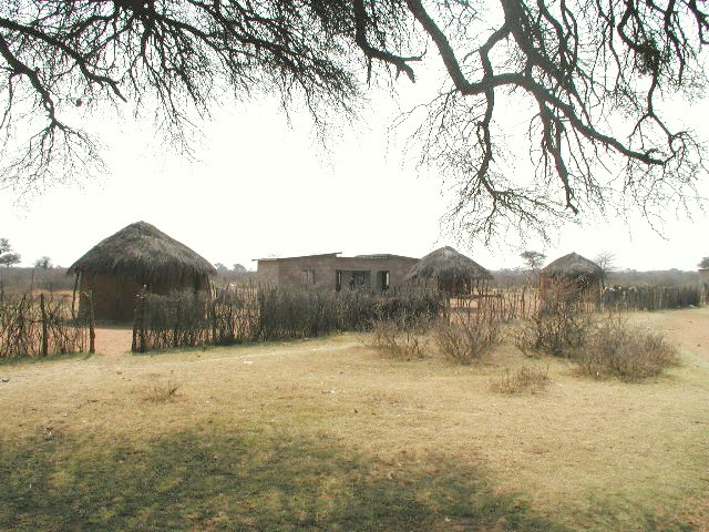
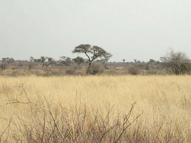
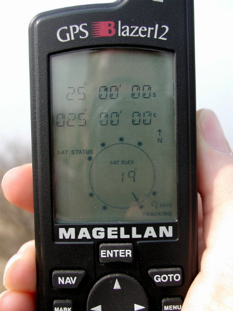
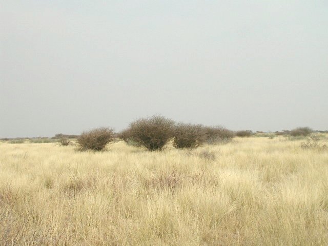
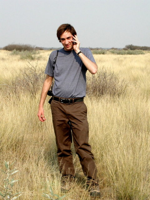
(visited by David Guier and Iwona Wasilewska) 26-Aug-2001 -- I read about the Confluence Project in the Washington Post. Possessing a GPS but not possessing much of an idea of what to do with it, I thought the Project an excellent opportunity to put it to use and see some southern African countryside at the same time. The Confluence website reported no attempts or successes in Botswana so the field was pretty wide open, so to speak. I settled on 25°S 25°E, close to Gaborone, the capital of Botswana where I am living, and off I set with two friends, Ben and Iwona, on another in a long series of brilliant days. The maps of Botswana generally lack detail, but one showed a dirt road passing within a couple of kilometers of the Confluence. The problem was finding the turn-off to the dirt road from the highway, which we managed after a couple of false starts. The locals were very friendly and offered loads of help whenever asked. Along the dirt road we came across one of the more scenic and peaceful villages we’d seen in Botswana with the fanciful name of Selokolela. A few kilometers further up the road, tracking our position all the while on the GPS, we turned along into another dirt road which lead to a pasture. This road then dead-ended into the African bush and we set out on foot, approximately 2 kilometers from the Confluence. At times we had to claw our way through prickly, scratching bushes, at other times we walked through knee-high grass, bringing images of large cats springing up and pouncing for the kill, to my mind at least. We finally zeroed in on 25°S 25°E, which is essentially in the middle of somewhere, to someone, but not us, and Ben commemorated the occasion by calling friends half way around the world and inviting them to pinpoint our exact location at that very moment on the nearest map... |
| All pictures |
| #1: The Middle of Somewhere #2: Selokolela #3: Intrepid explorers #4: Calling home #5: Verification of ground 25°S 25°E #6: Big cats lurking somewhere ALL: All pictures on one page |