|

Romania
2.3 km (1.4 miles) NW of Lovnic, Braşov, Romania
Approx. altitude: 579 m
(1899 ft)
([?] maps: Google MapQuest OpenStreetMap ConfluenceNavigator)
Antipode: 46°S 155°W
Accuracy: 7 m (22 ft)
Quality: good
Click on any of the images for the full-sized picture.


| 46°N 25°E (visit #1) |
![Visit #4: [04-Aug-23]](/ro/all/n46e025v4/preview.jpg "Visit #4: [04-Aug-23]")
![Visit #2: [19-Apr-12]](/ro/all/n46e025v2/preview.jpg "Visit #2: [19-Apr-12]")
![Visit #3: [02-Aug-14]](/ro/all/n46e025v3/preview.jpg "Visit #3: [02-Aug-14]")

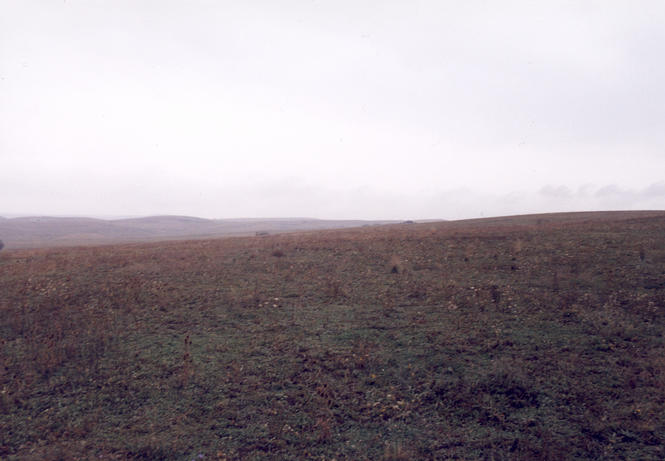
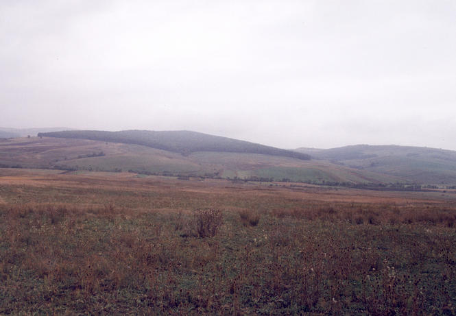
(visited by Ciprian Cosma and Ioana Stefan) 06-Oct-2001 -- The last day of our short vacation was cloudy and rainy. Nevertheless, we decided to try to reach the 46°N 25°E confluence, which was located on the map near a small village, called Lovnic. We were driving towards Bucharest from Sighişoara through Braşov and the shortest way to get to the confluence was to turn right from the highway and go through Meşendorf and Grânari. First, we came to Criţ, the first village on this country road, but as there were no signs which way we had to take to Meşendorf, we asked a local villager. And we were fortunate to do so, as it turned out that the road to Lovnic was impracticable from there, due to the heavy rain. So we had to turn back and take the highway to Rupea and from there to turn right and reach Lovnic through the villages Dacia and Jibert. The confluence was between Lovnic and the village Grânari at approx. 700 meters from the road, on an field. We left the car near the field and walked through "deep mud" to the confluence point. Photo 1 is looking east to the top of the hill, photo 2 north, photo 3, west and photo 4 south. The GPS is in photo 5. Ioana is in photo 6 and myself in photo 7. |
| All pictures |
| #1: Looking east #2: Looking north #3: Looking west #4: Looking south #5: GPS #6: Ioana #7: Ciprian ALL: All pictures on one page |