|

France : Pays de la Loire
2.5 km (1.6 miles) W of Évrunes, Vendée, Pays de la Loire, France
Approx. altitude: 64 m
(209 ft)
([?] maps: Google MapQuest OpenStreetMap ConfluenceNavigator)
Antipode: 47°S 179°E
Accuracy: 20 m (65 ft)
Quality: good
Click on any of the images for the full-sized picture.


| 47°N 1°W (visit #1) |
![Visit #6: [03-Jun-26]](/fr/all/n47w001v6/preview.jpg "Visit #6: [03-Jun-26]")
![Visit #5: [12-Feb-23]](/fr/all/n47w001v5/preview.jpg "Visit #5: [12-Feb-23]")
![Visit #4: [22-Dec-17]](/fr/all/n47w001v4/preview.jpg "Visit #4: [22-Dec-17]")
![Visit #3: [24-Apr-13]](/fr/all/n47w001v3/preview.jpg "Visit #3: [24-Apr-13]")
![Visit #2: [27-May-07]](/fr/all/n47w001v2/preview.jpg "Visit #2: [27-May-07]")

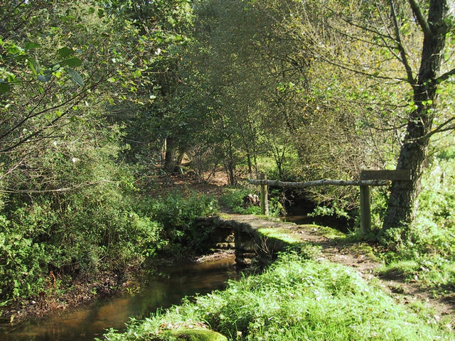
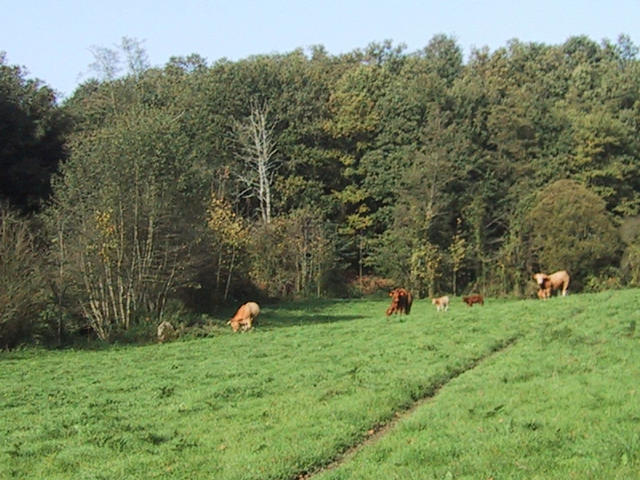
(visited by Michel Dupuis) 30-Oct-2001 -- Really close to the river "Sèvre Nantaise" 47N001W has not been of easy access. On the Michelin map, the confluence seems to be on the north side of the river (which anyway is unreacheable…). In fact it is on the south bank, very close of the river (30 meters) but you never know before you are on the spot if it will be up or down the hill. After having turned around with the car, I left it on the small road linking Saint Aubin des Ormeaux to "La Martinière" close to a wayside cross (46° 59.85' W001° 00.37'), which is - for a bird – only 530 meters far from the confluence. From there I walked on a dirt track till a small bridge on a brook, and then left through a long and narrow winding meadow between the brook and thick bushes. Unfortunately, this meadow was occupied by cows and some small bulls who really had no friendly welcome for me. So I climbed upon a hill to pass around the herd, and endly found the spot at the end of this meadow, where it ends in the river. The altitude there is 70 meters. It was 11h46. I had the same problem with the cows coming back (they had moved, but not enough) and all this needed more than 1 hour walk from car to car. You can see the view from the bridge on the Sèvre at "Pont de Grenon" on the road from Saint Aubin des Ormeaux to Saint Christophe du Bois, only 1.2 km from the confluence. |
| All pictures |
| #1: The confluence, close to the river "Sèvre nantaise" #2: The bridge on the way to the spot #3: The cows in the meadow #4: The GPS view #5: View south from the confluence #6: The track from the car to the confluence #7: Pont de Grenon ALL: All pictures on one page |