|

Philippines
3.0 km (1.9 miles) NNE of Sorsogon, Luzon, Sorsogon, Philippines
Approx. altitude: 80 m
(262 ft)
([?] maps: Google MapQuest OpenStreetMap ConfluenceNavigator)
Antipode: 13°S 56°W
Accuracy: 1.6 km (1756 yd)
Quality: good
Click on any of the images for the full-sized picture.


| 13°N 124°E (visit #2) | (incomplete) |
![Visit #4: [06-Mar-15]](/ph/all/n13e124v4/preview.jpg "Visit #4: [06-Mar-15]")
![Visit #3: [18-Jun-03]](/ph/all/n13e124v3/preview.jpg "Visit #3: [18-Jun-03]")
![Visit #1: [25-Aug-02]](/ph/all/n13e124/preview.jpg "Visit #1: [25-Aug-02]")

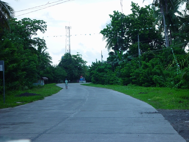
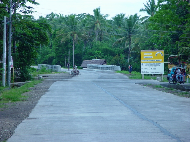
(visited by Raymund Madronero) 01-Sep-2002 -- This is my second attempt to visit the confluence. Sad to say though, I went a little farther this time. In one of the trackpoints recorded by my gps (12°59.7682N 124°00.5539E) I should have been closer at roughly 1,090 m but I failed to notice it. Passing through the diversion road bypassing Sorsogon City in Bicol, Philippines I took these pictures. Picture #1 is that of the road pointing towards west, Picture #2 is that of the same road pointing east and Picture #3 is the reading of my gps. If my estimates are correct, the confluence point would be found within the area under the Bacon-Manito Geothermal Project between the National Power Corporation and the Philippine Geothermal, Inc. This area still has much of the lush vegetation and forest cover. |
| All pictures |
| #1: Sorsogon Diversion Road pointing west #2: Sorsogon Diversion Road pointing east #3: GPS Reading ALL: All pictures on one page |