|

Uruguay
9.4 km (5.8 miles) WSW of Campana, Colonia, Uruguay
Approx. altitude: 65 m
(213 ft)
([?] maps: Google MapQuest OpenStreetMap ConfluenceNavigator)
Antipode: 34°N 122°E
Accuracy: 1.5 km (1640 yd)
Quality: good
Click on any of the images for the full-sized picture.


 near the confluence")


| 34°S 58°W (visit #1) | (incomplete) |
![Visit #2: [21-Sep-05]](/uy/all/s34w058v2/preview.jpg "Visit #2: [21-Sep-05]")

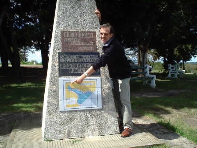
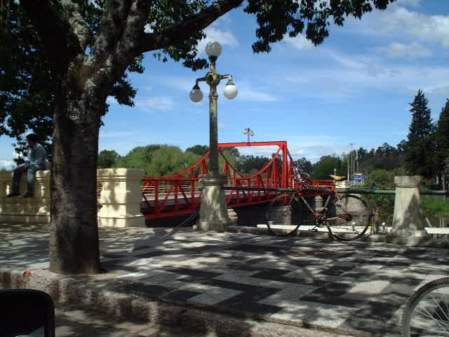
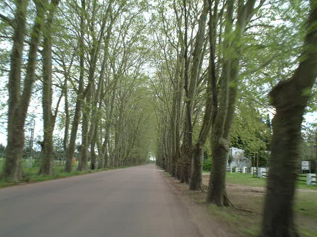
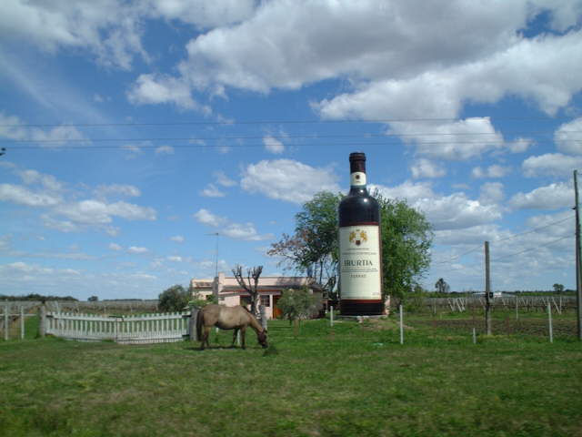
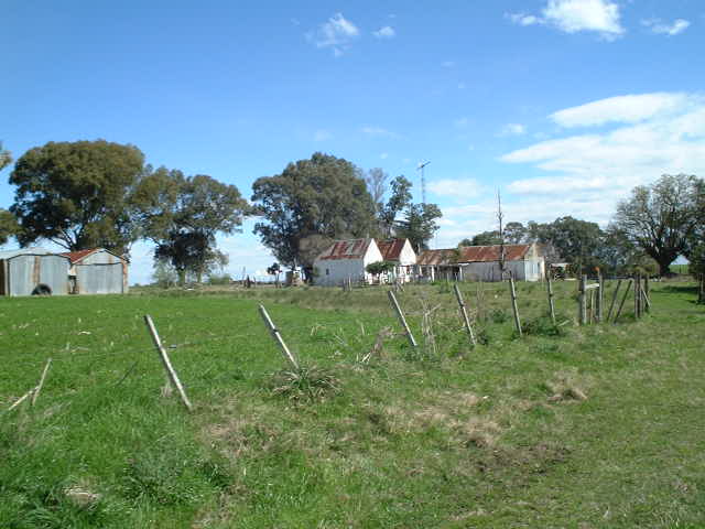
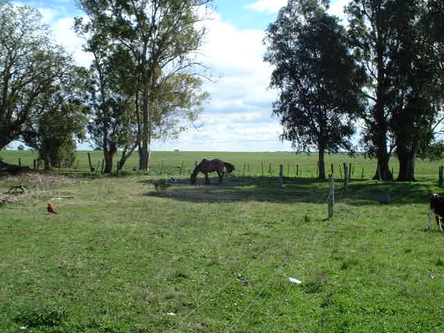
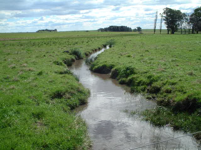
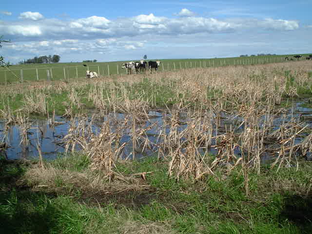
(visited by Captain Peter) 20-Sep-2002 -- After having visited the first Uruguayan confluence near Nuevo Berlin [link visit 33S58W] I went back on board and invited my taxi driver for lunch there. Then we continued, in order to visit 34S 58W. From the Port of Nueva Palmira we went first to another "Confluence" - the Confluence of Riio Uruguay and Rio de La Plata. Here I am standing at the monnument of the km-Zero-mark of Rio Uruguay at Punta Gorda. Then we continued on the Road Nr. 21 and passed the small town and tourist resort of Carmelo, where we crossed the famous bridge over the Arroyo Juan González Grande. First the road was an avenue, then we passed several vineyards and went until Radial Conchillo, turned left into the road Nr. 55 until the small village of Campana. Then we began searching for suitable dirt roads to get as close as possible to the confluence. The closest approach by car ended in front of water. There I saw an hacienda (farm). I walked to it and that was my closest approach as well. I learned from the farmer that
The land was indeed wet, as it had been raining last night, and so I had to give up. |
| All pictures |
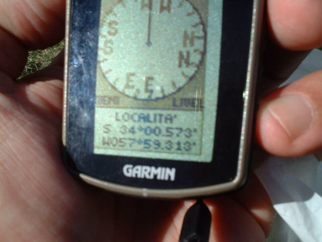
| #1: The confluence seen from the hacienda, it is in the direction of the horse #2: Captain Peter at the 0-km mark monument of Rio Uruguay #3: Bridge over the Arroyo Juan González Grande #4: Initially the road was an Avenue #5: We passed several vineyards on the way #6: The closest approach by car ended in front of water #7: A hacienda (farm) near the confluence #8: GPS #9: Irrigation canals block the approach #10: Wet ground in the area ALL: All pictures on one page |