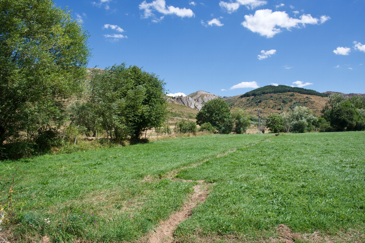
#1: The confluence point lies in a small farm field. (This is also a view to the East.)
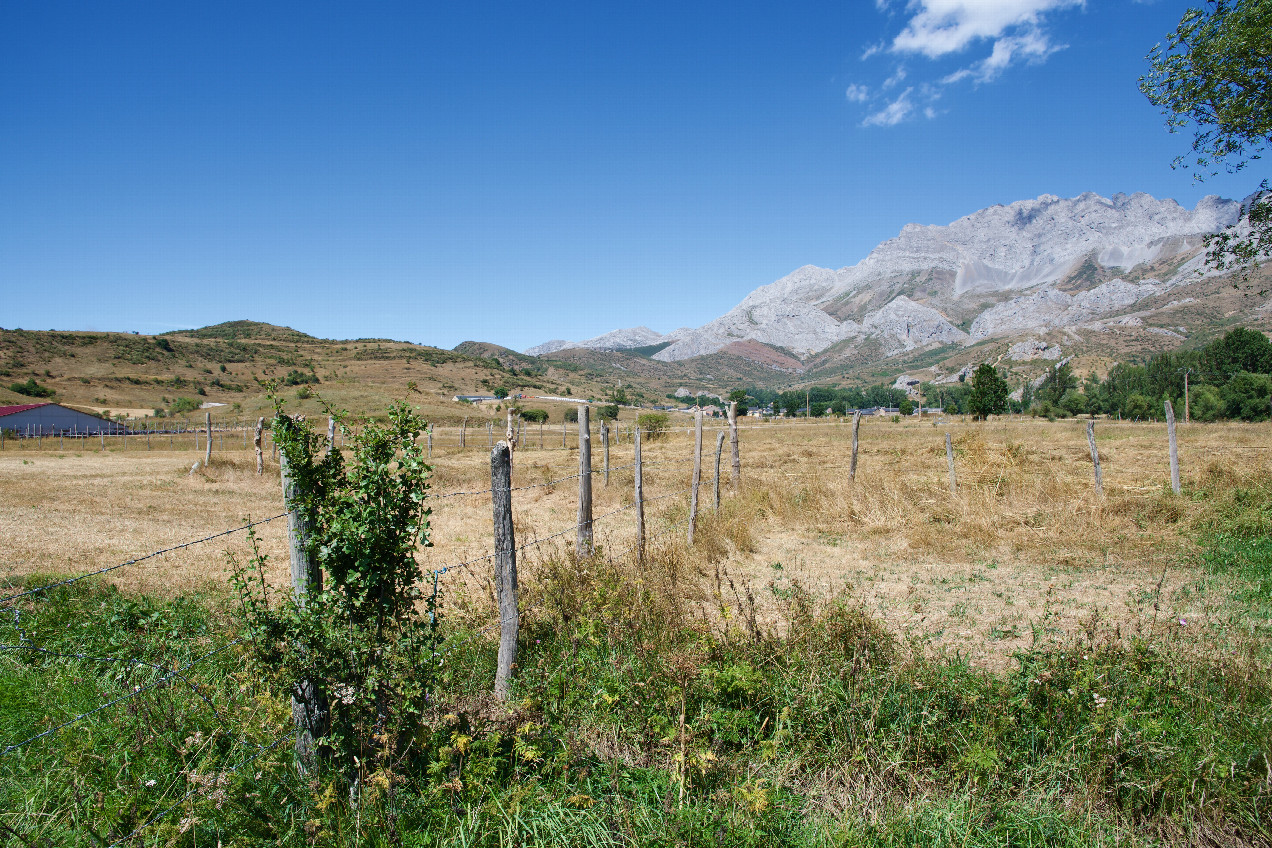
#2: View North
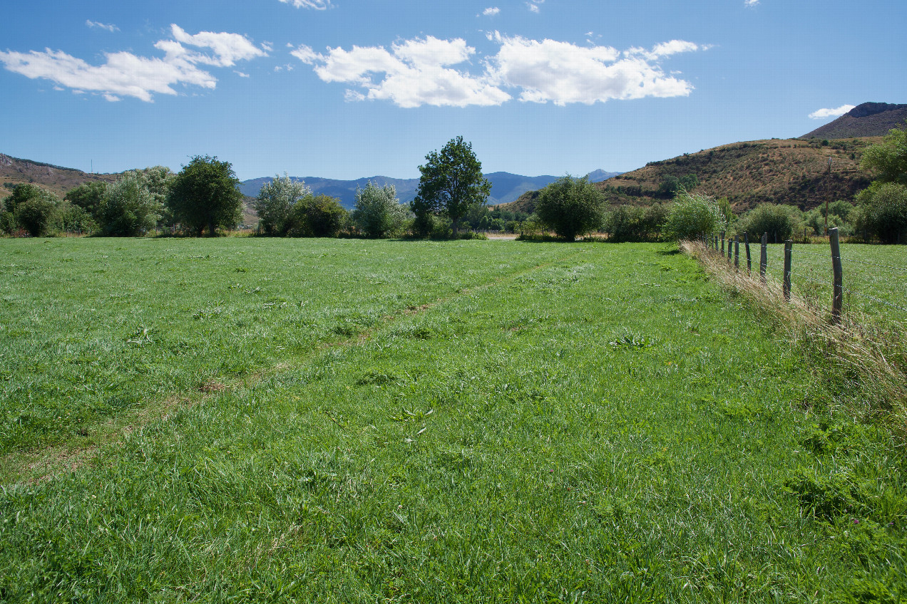
#3: View South (towards the gravel road, 65m away)
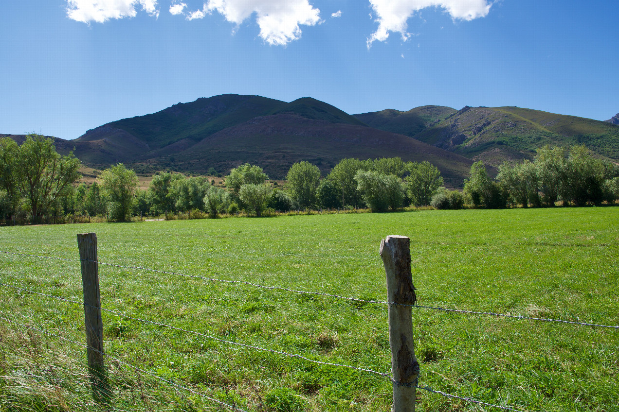
#4: View West
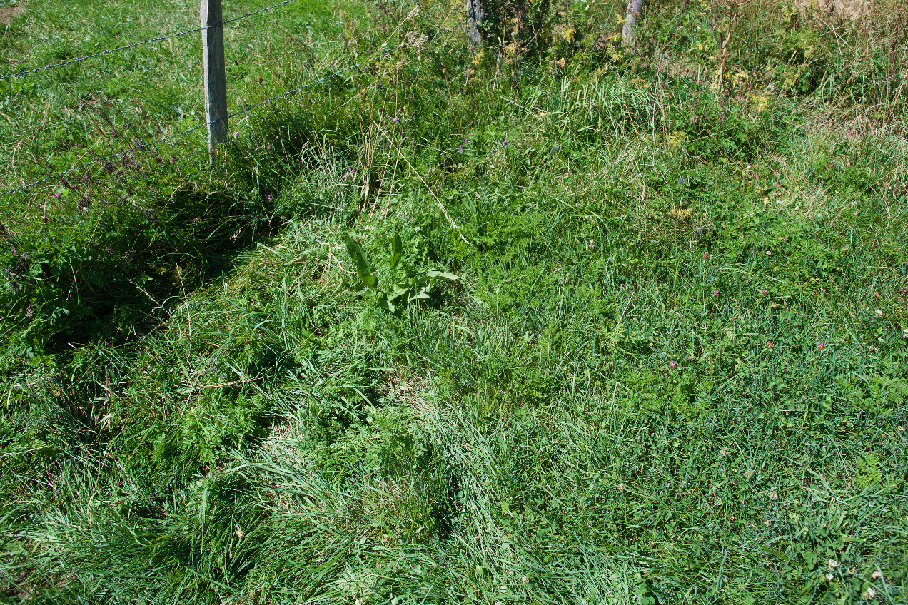
#5: Ground cover at the confluence point
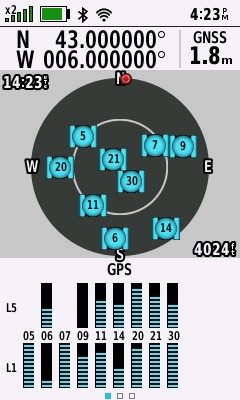
#6: All zeros! (GPS+Galileo+BeiDou)
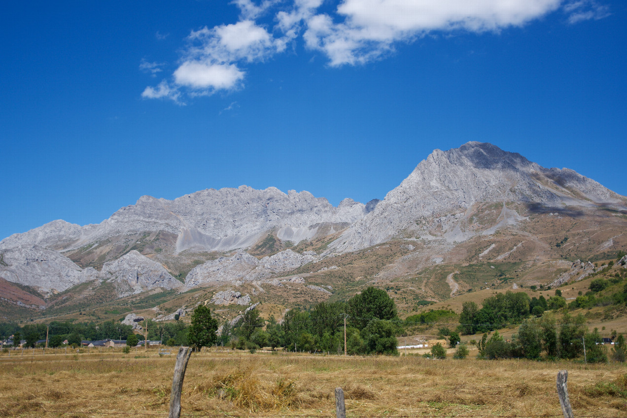
#7: A closeup view of the mountains ("Picos del Fontán”) to the NNE of the point
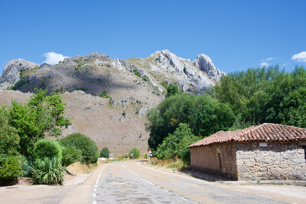
#8: The village of "Villafeliz de Babia”, 6.5 km SSE of the point
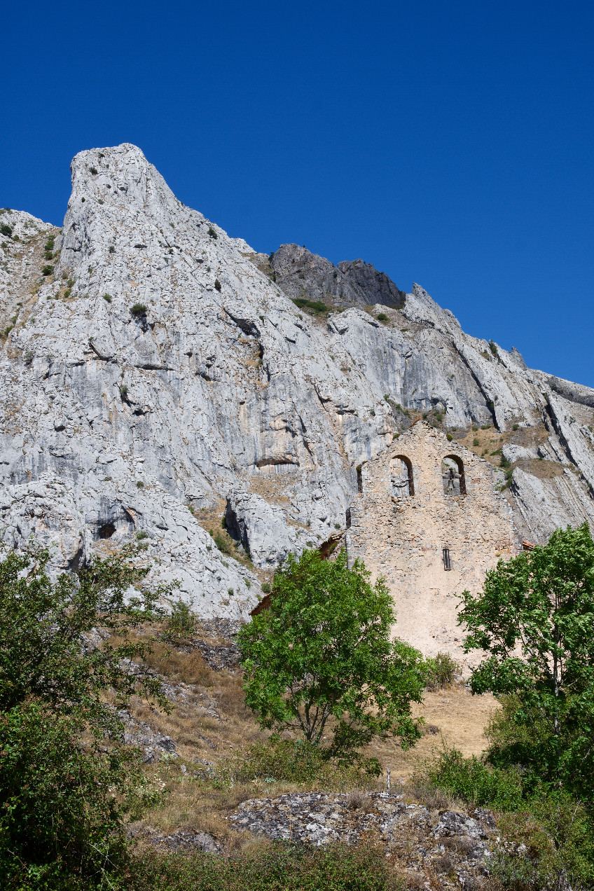
#9: "Ermita de Pruneda”, 7.2 km SSE of the point
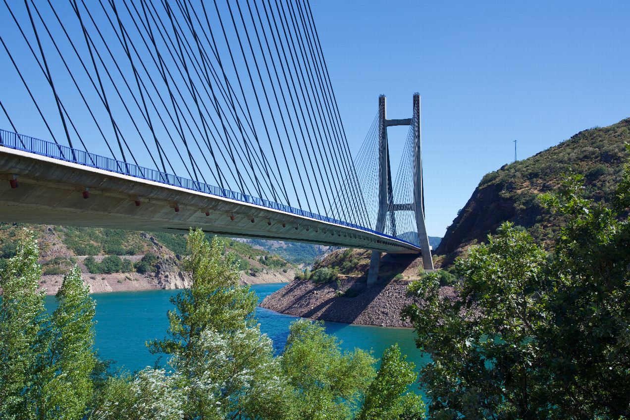
#10: "Puente Fernández Casado”, 14.5 km SE of the point