|

United States : Idaho
15.1 miles (24.3 km) WNW of Snowville (UT), Oneida, ID, USA
Approx. altitude: 1425 m
(4675 ft)
([?] maps: Google MapQuest OpenStreetMap topo aerial ConfluenceNavigator)
Antipode: 42°S 67°E
Quality: good
Click on any of the images for the full-sized picture.


")


| 42°N 113°W (visit #2) |
![Visit #7: [19-May-21]](/us/id/n42w113v7/preview.jpg "Visit #7: [19-May-21]")
![Visit #6: [18-Aug-17]](/us/id/n42w113v6/preview.jpg "Visit #6: [18-Aug-17]")
![Visit #4: [24-Sep-03]](/us/id/n42w113v4/preview.jpg "Visit #4: [24-Sep-03]")
![Visit #3: [04-Jul-03]](/us/id/n42w113v3/preview.jpg "Visit #3: [04-Jul-03]")
![Visit #5: [31-Mar-04]](/us/id/n42w113v5/preview.jpg "Visit #5: [31-Mar-04]")
![Visit #1: [27-May-01]](/us/id/n42w113/preview.jpg "Visit #1: [27-May-01]")

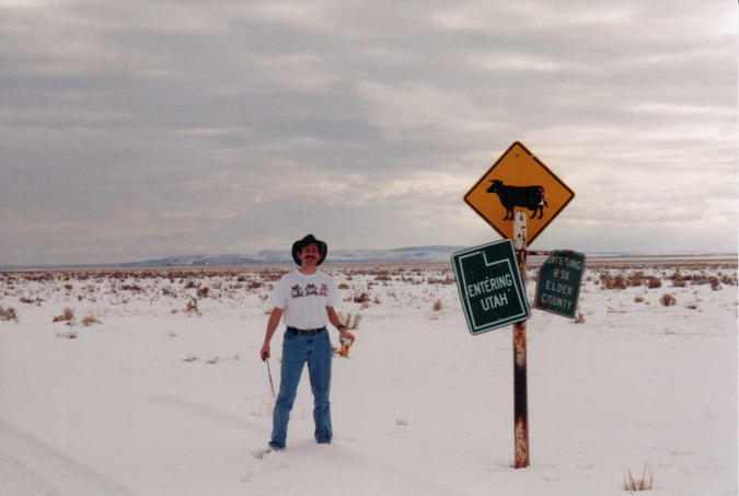
(visited by Michelle Lincoln, Eric C. Lincoln, Shaina Crandall, Jeremy T Splinter, Randall Splinter, Elaine Splinter and Raymond O. Splinter) 01-Jun-2001 -- The Lincolns had attempted this confluence on a trip to Utah in February, but were foiled by snow on the way south and by mud on the return trip (See pictures #7 & #8). So, we were determined to nail this point the next time we headed south when weather would permit. The opportunity came on June 1, when the whole family headed for Utah to visit my brother Joel (He and his wife joined us on our next confluence adventure at N40 W111). We were driving in two vehicles and left I-84 (Utah exit 5 just north of Snowville) near noon. We turned right onto Hwy 30 and drove to 11000 South (This road can also be accessed from I-84, Idaho exit 263--Juniper). This gravel road led us to 36000 West, where we turned left toward the confluence. Eventually we reached a "road" that neither our Toyota nor the Splinter minivan were capable of navigating. We were on range land, complete with a herd of cows. This route avoids any gates or fences--but not cattleguards. The GPS units indicated about 2 km to the confluence. Time to hike. So everyone piled out, and off we went across gently rising, sagebrush covered, dry and dusty ground, trying to avoid stepping in cow patties and cactus (they were blooming, though, so they were easier to see!). The main herd of cows was gathered around a watering trough to our left. Our presence seemed to unnerve them slightly, and they bawled and milled around, raising dust. At this point we noticed a lone bull, apparently the patriarch of the herd, maintaining "detatched contact" about 150 feet to our right. This prompted Randall to dub this confluence "Dances with Bulls." Perhaps half an hour later, we reached the magic zeros. Not too far away was the corner of the barbed-wire fence enclosing this piece of rangeland. The east-west fence was the Utah/Idaho border (Eric crawled over and found the survey marker) and the north/south fence apparently the Cassia/Oneida county line. Across the Utah border is Box Elder County, which covers a huge section of northern Utah. This confluence is at the northern edge of an ancient lake (Lake Bonneville, according to the Historic Marker at the rest stop on I-84, picture #6). The Great Salt Lake is all that is left of it today. The area we hiked was certainly dry now! After taking photos, we agreed it would be prudent to get out of the heat as soon as possible. Back to the cars we went, finding great satisfation in conquering this confluence at last, despite heat, dust, thirst, and Shaina's rather nasty sunburn. |
| All pictures |
| #1: Looking Northwest from Confluence #2: Beautiful Cactus Blooms #3: Looking East, with Cattle at Water Trough #4: To the West, Bull maintains Detatched Contact #5: At the Spot: Elaine, Jeremy, Randall, Eric, Michelle, and Shaina (l. to. r.) #6: All about Lake Bonneville #7: Early February 2001--foiled by snow #8: A week later--this time foiled by mud ALL: All pictures on one page |