|

Iceland
42.5 km (26.4 miles) SSE of Hólar, Eyjafjarðarsýsla, Iceland
Approx. altitude: 848 m
(2782 ft)
([?] maps: Google MapQuest OpenStreetMap ConfluenceNavigator)
Antipode: 65°S 162°E
Quality: good
Click on any of the images for the full-sized picture.


| 65°N 18°W (visit #1) |
![Visit #5: [13-Jul-20]](/is/all/n65w018v5/preview.jpg "Visit #5: [13-Jul-20]")
![Visit #4: [21-Jun-14]](/is/all/n65w018v4/preview.jpg "Visit #4: [21-Jun-14]")
![Visit #3: [20-Jul-04]](/is/all/n65w018v3/preview.jpg "Visit #3: [20-Jul-04]")
![Visit #2: [22-Oct-01]](/is/all/n65w018v2/preview.jpg "Visit #2: [22-Oct-01]")
 (visited by Eva Buehlmann and Reto Stöckli) 06-Sep-2001 -- Here goes our story:
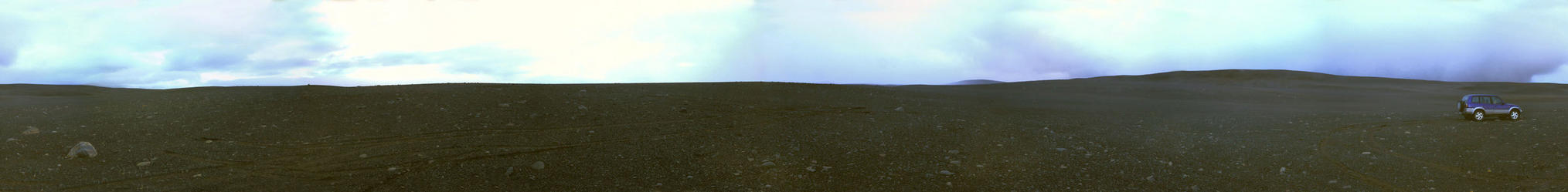
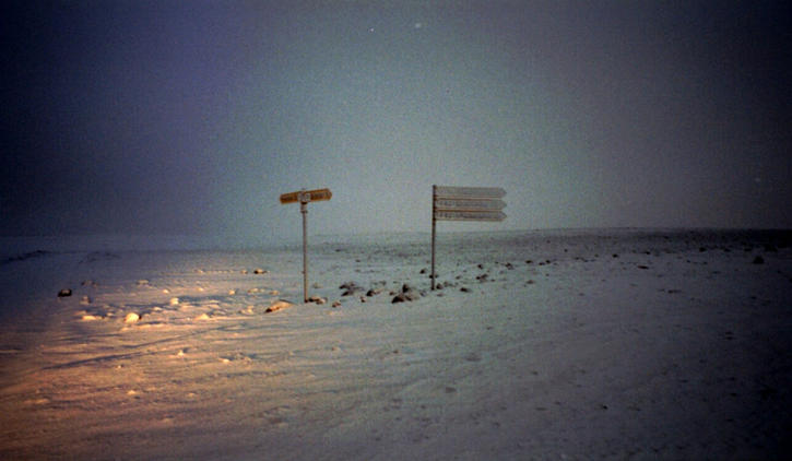
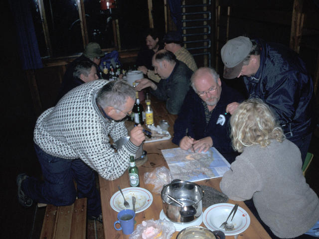
Originally we had planned to drive route F910 from Askja westwards to get this confluence but locals smashed our enthusiasm when we listened to their scary stories about naive tourists getting stuck on this very bad track along the big Vatnajökull glacier. People use to drive such roads in a car convoy (there are many rivers to cross and snow- and sandstorms can happen any time ...). The probability to be rescued at this time of the year on the F910 track is low, since no car is expected to drive there during the winter. So we decided to take the better known F26 Sprenisandur route. This one starts at the very nice Godafoss (God's waterfall) and crosses the highlands along the Skjalfandfljot - river, which has an impressive canyon with a very beautiful waterfall "Aldejarfoss"). Driving through endless stone and sand deserts the road was getting close the confluence point at sunset. When the direction to the site was perpendicular to the road we switched to 4x4 and continued our rallye offroad "öber Stock o Stei im volle Garacho" westwards until we got to the point at around 1.5km distance from the road. We celebrated the confluence just when snowfall was starting. We felt a bit like the first people landing on the moon. Lava stones are projecting out of a surface consisting of very fine gravel and sand and there's no vegetation growing anywhere. The place represents a typical highland sand desert found in that area of Iceland and is situated around 1000m above sea level. The surroundings are hilly, but no big mountains were visible, probably also because of the heavy clouds and fog that came up at the time we were making this confluence. We managed to get to the exact site and took a panoramic picture of the surroundings. It was getting dark with snowfall starting when we drove to the mountaineering hut at Nydalur - first crossing two rivers in the beginning snowstorm. We were happy to stay in the weather-save hut for the night and to prepare our pasta inside. The hut was used by funny Icelandic guys who were enjoying their weekend smoking, telling crazy stories and drinking a lot. Their freetime activity was to cross the interior with their huge jeeps, driving only offroad. Although offered, we were not up to taste their main dinner plate: a smoked sheep-face. They told us all sorts of Icelandic sagas and we enjoyed the evening very much. Scowl! |
| All pictures |
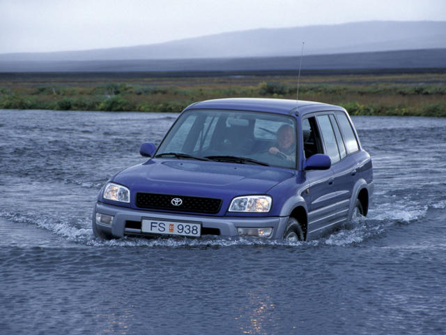
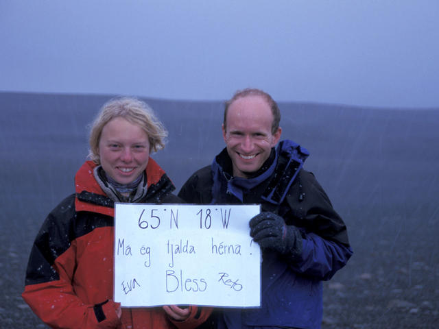
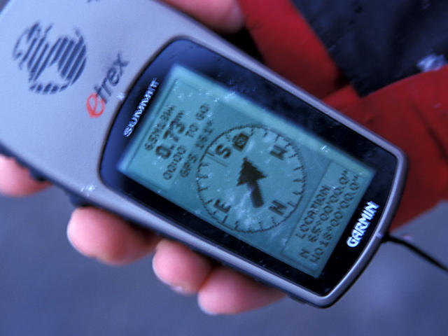
| #1: stones, sand, sky #2: The GPS showing the exact location #3: Can we camp here? #4: On our way to Nydalur #5: Our 4x4 offroad car in action #6: Scowl! ALL: All pictures on one page |