|

Denmark
7.4 km (4.6 miles) E of Tranekær-Botofte, Langeland (Island), Fyn, Denmark
Approx. altitude: 0 m
(0 ft)
([?] maps: Google MapQuest OpenStreetMap ConfluenceNavigator)
Antipode: 55°S 169°W
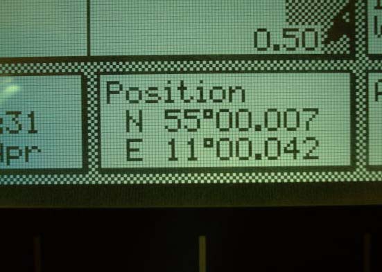
Accuracy: 39 m (127 ft)
Quality: good
Click on any of the images for the full-sized picture.
 map")


| 55°N 11°E (visit #1) | (secondary) |
![Visit #2: [26-Aug-04]](/dk/all/n55e011v2/preview.jpg "Visit #2: [26-Aug-04]")
![Visit #3: [23-Aug-04]](/dk/all/n55e011v3/preview.jpg "Visit #3: [23-Aug-04]")

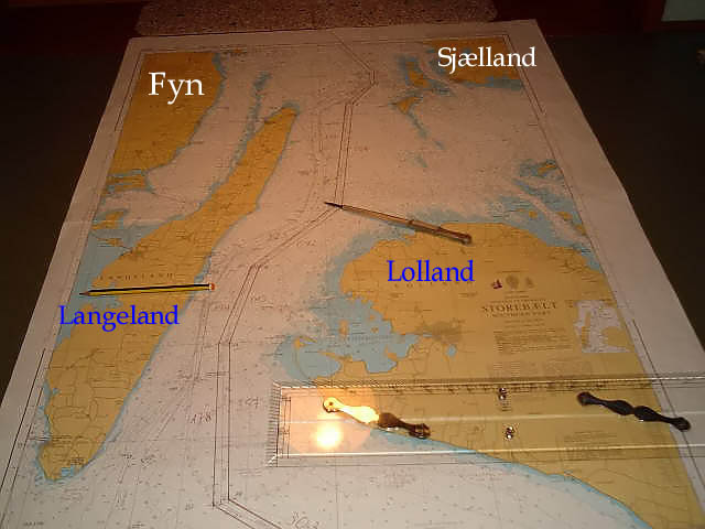
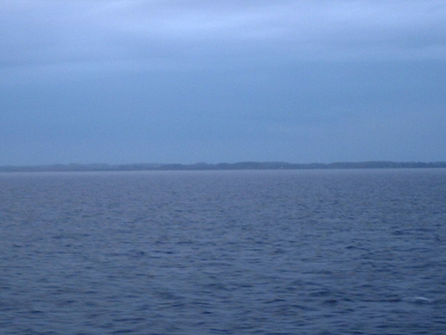
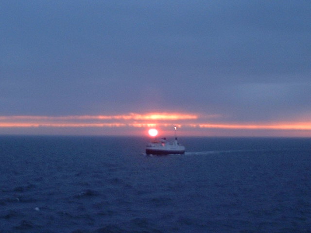
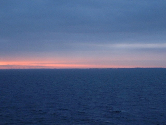
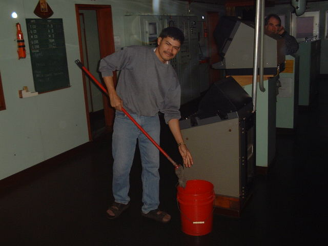
(visited by Captain Peter, Valentyn Smirnov, Volodymyr Kokorev and Volodymyr Sydorenko) 29-Apr-2002 -- After having visited the offshore point 57°N/8°E we proceeded from the Skagerrak (Skaw) through the Kattegat and the Store Bælt (Great Belt) into the Baltic Sea. We passed Langeland Island on the 29th April at sunrise. Langeland ("Long Island") is a long narrow island extending almost exactly N-S and is situated between the Danish Islands of Fyn and Lolland. The capital of Langeland is Rudkøbing, and that of Lolland is Nakskov. At sunrise we were at the confluence. According to the GPS we were a 39 m in the NE of the confluence. Denmark is full of wind rotors for generating electricity. On Lolland we can see some. On a ship work starts at sunrise. Here seaman Ronald from the Philippines is cleaning the navigating bridge. |
| All pictures |
| #1: Langeland #2: Store Bælt (Great Belt) map #3: Langeland Island map #4: Sunrise at the confluence #5: GPS #6: Lolland #7: Seaman Ronald cleaning the navigating bridge ALL: All pictures on one page |
| Notes |
|
In the ocean |