|

Russia : Leningradskaya oblast'
1.7 km (1.1 miles) S of Ostrov Gogland (Island), Leningradskaya oblast', Russia
Approx. altitude: 0 m
(0 ft)
([?] maps: Google MapQuest OpenStreetMap ConfluenceNavigator)
Antipode: 60°S 153°W
Quality: good
Click on any of the images for the full-sized picture.


")


")
 Lounatrivi")
| 60°N 27°E (visit #3) |
![Visit #4: [25-Aug-04]](/ru/all/n60e027v4/preview.jpg "Visit #4: [25-Aug-04]")
![Visit #2: [04-May-02]](/ru/all/n60e027v2/preview.jpg "Visit #2: [04-May-02]")
![Visit #1: [01-May-02]](/ru/all/n60e027/preview.jpg "Visit #1: [01-May-02]")

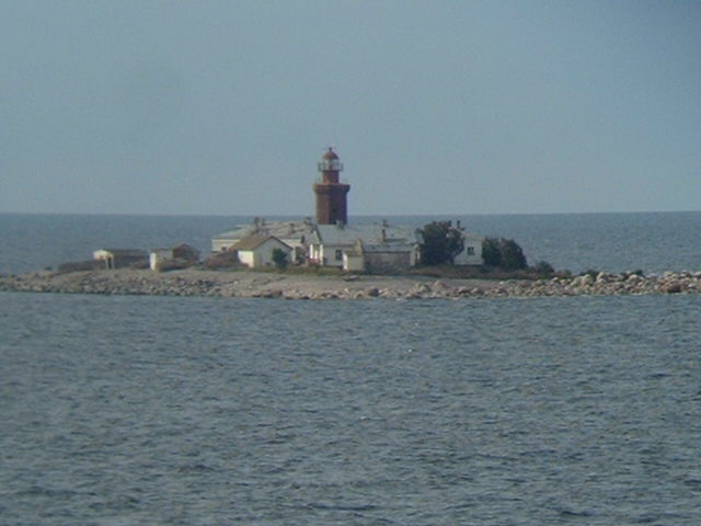
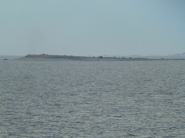
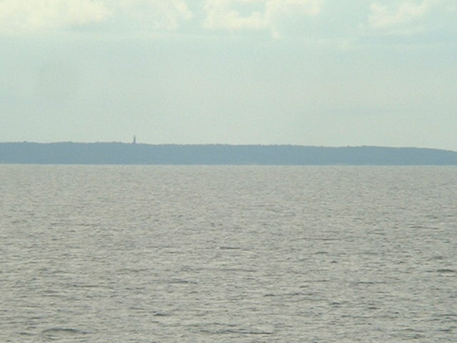
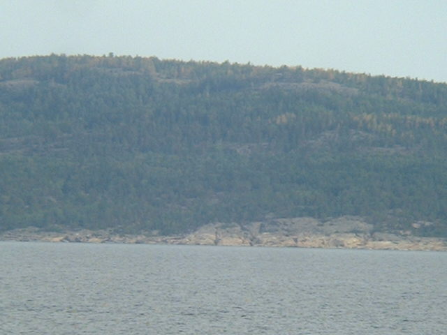
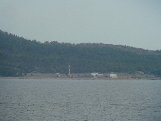
(visited by Captain Peter) 07-Aug-2002 -- Four hours more to go to Saint Petersburg, and this means: We are again at the confluence near Gogland Island. In our former two visits we explained that Russia's Westernmost point is Gogland Island. This is not perfectly true, although not completely incorrect as well: There was a Russian singer, named Mark Bernes, famous in the 50-ies and 60-ies, and he once sang a song with the title: "S-chego nachinaytsya rodina?" - translated: "With what begins your Fatherland?" Mark Bernes with this song did not intend to explain it in geographical terms. Russia is so unimaginably huge that nobody cares how huge it is. He rather wanted to appeal to the Russians' love for their fatherland, so he asked "does your fatherland begin with your first schoolbook, with whom you are learning the cyrillic alphabet, or does it begin with the first lullaby your mother sings ...?" Confluences are a geographical matter, however, and under this point of view Russia begins with a very small Island in the Gulf of Finland, a little bit farther West of Gogland, - Ostrov Rodsher (Rodsher Island). The Island is almost too small for all these houses on it! The next group of islets on our way to the confluence are two even tinier islets. The Ostrov Virginyy (the Russian Virgin Islands, so to say ...). There are Northen Ostrov Virginyy , and Southern Ostrov Virginyy. The next islands to pass are the Tyuters Islands, of whom there are two as well, Malyy Tyuters (Small Tyuters) and Bol'shoy Tyuters (Great Tyuters). Finally we arrive at the Confluence, and we see the densely wooded Gogland Island. Mys (Cape) Lounatrivi, the Southernmost tip of Gogland Island, with its lighthouse, is already well known to us. |
| All pictures |
| #1: Densely wooded Gogland Island seen from the Confluence #2: GPS #3: Gogland Island #4: Ostrov Rodsher (Rodsher Island) #5: Map #6: Northern Ostrov Virginyy #7: Southern Ostrov Virginyy #8: Malyy Tyuters (Small Tyuters) #9: Mys (Cape) Lounatrivi ALL: All pictures on one page |
| Notes |
|
In the Gulf of Finland, about 1.25 km from the southern shore of Gogland Island. |