|

Italy : Umbria
2.3 km (1.4 miles) NE of San Litardo, Perugia, Umbria, Italy
Approx. altitude: 286 m
(938 ft)
([?] maps: Google MapQuest OpenStreetMap ConfluenceNavigator)
Antipode: 43°S 168°W
Accuracy: 200 m (656 ft)
Quality: good
Click on any of the images for the full-sized picture.

")

![]()

| 43°N 12°E (visit #5) | (incomplete) |
![Visit #10: [24-Dec-22]](/it/all/n43e012v10/preview.jpg "Visit #10: [24-Dec-22]")
![Visit #9: [13-Sep-18]](/it/all/n43e012v9/preview.jpg "Visit #9: [13-Sep-18]")
![Visit #8: [24-Dec-13]](/it/all/n43e012v8/preview.jpg "Visit #8: [24-Dec-13]")
![Visit #7: [24-Aug-13]](/it/all/n43e012v7/preview.jpg "Visit #7: [24-Aug-13]")
![Visit #6: [14-Apr-12]](/it/all/n43e012v6/preview.jpg "Visit #6: [14-Apr-12]")
![Visit #3: [23-Sep-01]](/it/all/n43e012v3/preview.jpg "Visit #3: [23-Sep-01]")
![Visit #2: [16-Sep-01]](/it/all/n43e012v2/preview.jpg "Visit #2: [16-Sep-01]")
![Visit #4: [13-Aug-01]](/it/all/n43e012v4/preview.jpg "Visit #4: [13-Aug-01]")
![Visit #1: [18-May-01]](/it/all/n43e012/preview.jpg "Visit #1: [18-May-01]")
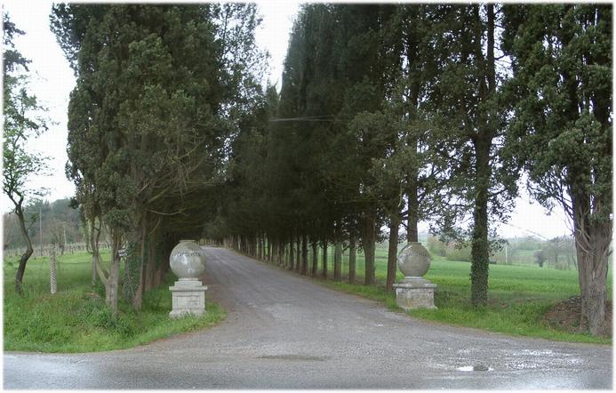
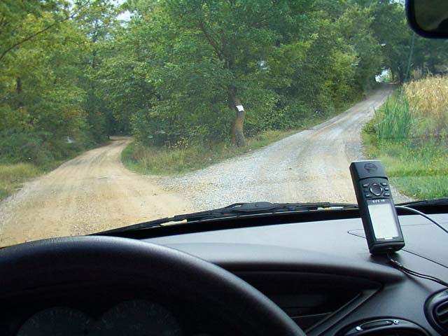
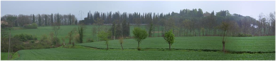
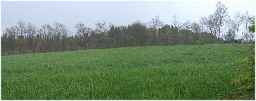
 (visited by Hans Augdoppler and Margit) 14-Apr-2002 -- On our way from First we missed the access road while driving along the national highway SS71 towards EAST (~ 500 m distance to CP). Finally we stopped at a junction to the private, avenue like road. However, this road didn't have any similarity to Luca Bartolini’s photo. We continued our journey towards the WEST for the time being and then turned into the provincial road SP311. A gravel road led to the EAST, directly in direction CP, from the village of Maranzo. In about distance of approx. 1 km from the CP it became a farm track and not suitable to standard cars. We returned to the first private road, followed it and went past the CP (EAST) in a distance of approx. 300 m. At the farm on the hill we turned back and noticed that this is a station from Maranzo (farm track). A walk wasn't considered seriously due to the heavy rain. But where is private road of Luca Bartolini? Back to the SS71 and then towards WEST – and there it was the ‘private road’. This narrow road led past a farm and finally, close to a new residential building, our distance fell below 200 m (to the east). There was no question; the rain was still too strong. Satisfied with this attempt we continued our journey through the rainy Umbria. Meanwhile our visit became fifth while we thought to be third– a miracle ;-). For more information see: http://linz.orf.at/gast/augdoppl/Confluence/Main.htm |
| All pictures |
| #1: View to CP from the EAST – distance ~ 300 m #2: Trial from the EAST – NO way - ~ 1km away #3: Access avenue like private road (EAST) #4: Area view to CP from EAST #5: Area view to CP from WEST #6: View to CP from the WEST – distance <200 m ALL: All pictures on one page |