|


Kazakhstan : Qaraghandy
11.1 km (6.9 miles) NE of Karaagash, Qaraghandy, Kazakhstan
Approx. altitude: 547 m
(1794 ft)
([?] maps: Google MapQuest OpenStreetMap ConfluenceNavigator)
Antipode: 49°S 109°W
Accuracy: 10 m (32 ft)
Quality: good
Click on any of the images for the full-sized picture.
| 49°N 71°E | (secondary) |
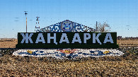
 (visited by Valera Parshukov) 07-Ноября-2023 – После посещения 50°N 75°E прошло полтора месяца и я решил повторить неосуществленную попытку. Утром из Караганды выехали по маршруту Атасу–Жанаарка–Ынталы. Перед селом Ынталы на отметке 48°55'26"N 71°02'48"E я съехал направо на песчаную дорогу, которая привела к фермерскому хозяйству. За фермой мне нужно было принять левее и я мог подъехать по песчаной дороге прямо к пересечению, а так остановился перед полосой посадок деревьев за 784 м до цели. Пересечение находится в Жанааркинском районе Улытауской области в 12,5 км от села Ынталы. Далее 49°N 72°E. Данные посещения:
07-Nov-2023 – A month and a half has passed since visiting 50°N 75°E and I decided to retry the unfulfilled attempt. In the morning, we left Karaganda along the route Atasu–Zhanaarka–Yntaly. Before the village of Yntaly, at the coordinates 48°55'26"N 71°02'48"E, I turned right onto a sandy road that led to a farm. Beyond the farm, I should have kept further left, which would have allowed me to drive along the sandy road straight to the confluence; instead, I stopped in front of a tree line 784 m away from the goal. The confluence is located in the Zhanaarka District of the Ulytau Region, 12.5 km away from the village of Yntaly. Next is 49°N 72°E. Visit data:
|
| All pictures |
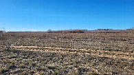
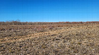
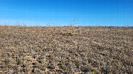
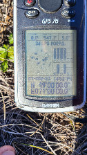
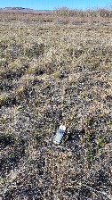
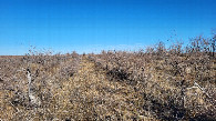
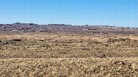
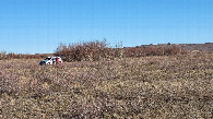
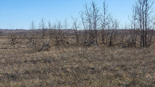
| #1: South / юг #2: West / запад #3: North / север #4: East / восток #5: GPS reading #6: Confluence spot / место слияния #7: Planted trees / посадки #8: Local landscape / местный пейзаж #9: Parking spot / место парковки #10: Entrance to the village / въезд в село ALL: All pictures on one page |