|


Spain : Aragón
4.1 km (2.5 miles) E of Laluenga, Huesca, Aragón, Spain
Approx. altitude: 363 m
(1190 ft)
([?] maps: Google MapQuest OpenStreetMap ConfluenceNavigator)
Antipode: 42°S 180°
Accuracy: 2 m (6 ft)
Quality: good
Click on any of the images for the full-sized picture.
| 42°N 0° (visit #9) |
![Visit #8: [26-Feb-24]](/es/all/n42e000v8/preview.jpg "Visit #8: [26-Feb-24]")
![Visit #7: [06-May-23]](/es/all/n42e000v7/preview.jpg "Visit #7: [06-May-23]")
![Visit #6: [09-Oct-18]](/es/all/n42e000v6/preview.jpg "Visit #6: [09-Oct-18]")
![Visit #5: [16-Jul-18]](/es/all/n42e000v5/preview.jpg "Visit #5: [16-Jul-18]")
![Visit #4: [19-Jul-11]](/es/all/n42e000v4/preview.jpg "Visit #4: [19-Jul-11]")
![Visit #2: [15-Mar-03]](/es/all/n42e000v2/preview.jpg "Visit #2: [15-Mar-03]")
![Visit #3: [13-Jan-07]](/es/all/n42e000v3/preview.jpg "Visit #3: [13-Jan-07]")
![Visit #1: [16-Aug-02]](/es/all/n42e000/preview.jpg "Visit #1: [16-Aug-02]")
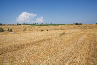
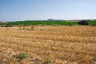
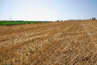
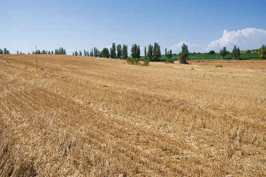 (visited by Ross Finlayson) 02-Aug-2026 -- After visiting [42,-1], I returned to the Prime Meridian to visit this point, which lies in a farm field. As I drove along gravel roads towards the point, I saw several fields of mature corn plants growing on both sides of the road, so I initially wasn’t sure how close I would be able to get to this point. However, as I reached the gravel road that passes just 240m North of the point, I could see that the point lay in a fallow field. (There was, however, corn growing in a field to the South, and in another field just North of the gravel road.) Walking to the point was easy, although I made the mistake of getting on the wrong side of a ditch. A note for future visitors: The best place to park your car and start your hike - to avoid the ditch - is [42.00180,-0.00187], about 250m NNW of the point. |
| All pictures |
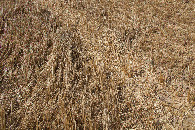
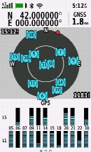
| #1: The confluence point lies in a farm field - currently fallow. (This is also a view to the North, towards a gravel road, 240m away.) #2: View East #3: View South #4: View West #5: Ground cover at the confluence point #6: All zeros! (GPS+Galileo+BeiDou) ALL: All pictures on one page |