|


Spain : Aragón
1.4 km (0.9 miles) E of Rudilla, Teruel, Aragón, Spain
Approx. altitude: 1235 m
(4051 ft)
([?] maps: Google MapQuest OpenStreetMap ConfluenceNavigator)
Antipode: 41°S 179°E
Accuracy: 2 m (6 ft)
Quality: good
Click on any of the images for the full-sized picture.
| 41°N 1°W (visit #7) |
![Visit #6: [12-Oct-18]](/es/all/n41w001v6/preview.jpg "Visit #6: [12-Oct-18]")
![Visit #5: [14-Oct-17]](/es/all/n41w001v5/preview.jpg "Visit #5: [14-Oct-17]")
![Visit #4: [20-Mar-09]](/es/all/n41w001v4/preview.jpg "Visit #4: [20-Mar-09]")
![Visit #3: [21-Mar-08]](/es/all/n41w001v3/preview.jpg "Visit #3: [21-Mar-08]")
![Visit #2: [25-Sep-05]](/es/all/n41w001v2/preview.jpg "Visit #2: [25-Sep-05]")
![Visit #1: [30-Mar-02]](/es/all/n41w001/preview.jpg "Visit #1: [30-Mar-02]")
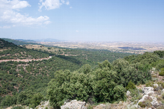 (visited by Ross Finlayson) 12-Aug-2026 -- My goal for today was to visit two adjacent Degree Confluence Points, ending with a viewing of the total solar eclipse (in the late afternoon, just before sunset). I decided to visit this point first, because I thought that the hills to the west might block my viewing of the eclipse. I parked at [40.99806,-1.00276], 317m SW of the point. I resisted the temptation to hike along the dirt road that ran in the general direction of the point, because I figured (correctly, as it turned out) that I would eventually have to do a lot more steep climbing if I went that way. Instead, I immediately hiked up onto the ridge, and continued along the ridge to the point, which lay on the western edge of the ridge, among limestone rocks. Here is a remote-controlled aerial video of this confluence point. |
| All pictures |
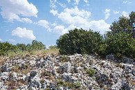
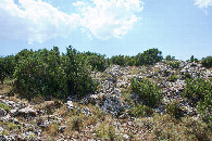
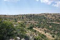
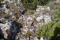
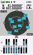
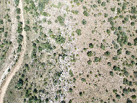
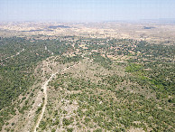
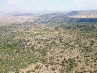
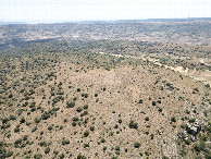
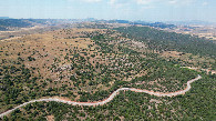
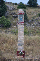
| #1: The confluence point lies on the edge of a rocky, scrub-covered ridge. (This is also a view to the North.) #2: View East #3: View South #4: View West #5: Ground cover at the confluence point #6: All zeros! (GPS+Galileo+BeiDou) #7: Looking down on the point from a height of 120m #8: View North, from 120m above the point #9: View East, from 120m above the point #10: View South, from 120m above the point #11: View West, from 120m above the point #12: A small roadside shrine, next to where I parked (317m SW of the point) ALL: All pictures on one page |