|


United States : Ohio
2.8 miles (4.5 km) SE of Ottawa, Putnam, OH, USA
Approx. altitude: 219 m
(718 ft)
([?] maps: Google MapQuest OpenStreetMap topo aerial ConfluenceNavigator)
Antipode: 41°S 96°E
Accuracy: 9 m (29 ft)
Quality: good
Click on any of the images for the full-sized picture.
| 41°N 84°W (visit #8) |
![Visit #7: [10-Aug-22]](/us/oh/n41w084v7/preview.jpg "Visit #7: [10-Aug-22]")
![Visit #6: [22-May-22]](/us/oh/n41w084v6/preview.jpg "Visit #6: [22-May-22]")
![Visit #5: [23-Mar-16]](/us/oh/n41w084v5/preview.jpg "Visit #5: [23-Mar-16]")
![Visit #4: [22-Nov-10]](/us/oh/n41w084v4/preview.jpg "Visit #4: [22-Nov-10]")
![Visit #3: [23-Jul-06]](/us/oh/n41w084v3/preview.jpg "Visit #3: [23-Jul-06]")
![Visit #2: [13-Sep-01]](/us/oh/n41w084v2/preview.jpg "Visit #2: [13-Sep-01]")
![Visit #1: [10-Jun-00]](/us/oh/n41w084/preview.jpg "Visit #1: [10-Jun-00]")
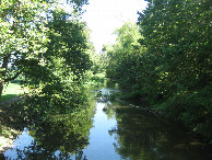
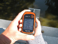
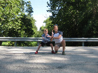
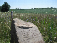
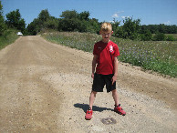
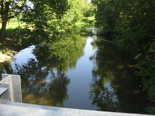 (visited by Gavin Roy and Finn Roy) 03-Aug-2026 -- Finn, now 7 years old, is increasingly excited about the idea of confluences. This one was on the way from Ada, Ohio (Wilson NFL football factory tour) to Bryan, Ohio (home of Spangler Candy Company, maker of Dum•Dums). Another road trip stop was in order. We parked by the bridge (10:42am, 72°F) and, as expected, encountered the creek below flowing heavily with the recent rains in the area. We knew that the confluence lies just to the north of the bridge, and that we wouldn't zero out without a kayak, although we were surprised to get as close as we did – within 25 feet. We were back in our car after the required photos, including the photo that Finn took. Driving west into nearby Ottawa we passed a lone wind turbine, the only one I'd end up seeing during the entire drive from Columbus OH to Grand Rapids MI. It was fascinating to see this part of Ohio, formally part of the Great Black Swamp. And of course, no road trip along this trajectory would be complete without a stop at the tri-point of Ohio, Indiana, and Michigan. Finn and I love the game of skipping in a circle around a good ol' tri-point, father and son in different and perpetually changing states. Life is good. |
| All pictures |
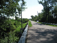
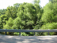
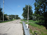
| #1: View NNW to the confluence in the middle of the creek roughly 25 feet away #2: View to the north #3: View to the east (and our parked car) #4: View to the south #5: View to the west #6: All zeroes #7: Success! #8: Tri-point commemorative marker #9: Actual tri-point in the middle of the road ALL: All pictures on one page |