|


Spain : Aragón
1.9 km (1.2 miles) N of Castejón de Valdejasa, Zaragoza, Aragón, Spain
Approx. altitude: 648 m
(2125 ft)
([?] maps: Google MapQuest OpenStreetMap ConfluenceNavigator)
Antipode: 42°S 179°E
Accuracy: 5 m (16 ft)
Quality:
Click on any of the images for the full-sized picture.
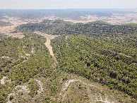
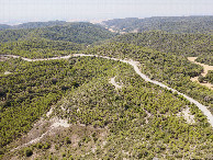
| 42°N 1°W (visit #7) |
![Visit #6: [05-Apr-25]](/es/all/n42w001v6/preview.jpg "Visit #6: [05-Apr-25]")
![Visit #5: [05-May-23]](/es/all/n42w001v5/preview.jpg "Visit #5: [05-May-23]")
![Visit #4: [09-Oct-18]](/es/all/n42w001v4/preview.jpg "Visit #4: [09-Oct-18]")
![Visit #3: [20-Mar-09]](/es/all/n42w001v3/preview.jpg "Visit #3: [20-Mar-09]")
![Visit #2: [16-Sep-07]](/es/all/n42w001v2/preview.jpg "Visit #2: [16-Sep-07]")
![Visit #1: [30-Mar-02]](/es/all/n42w001/preview.jpg "Visit #1: [30-Mar-02]")
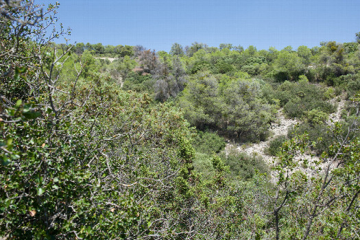 (visited by Ross Finlayson) 02-Aug-2026 -- I wasn’t particularly looking forward to visiting this point, as I knew it would involve some scrambling through scrub, and it was another very hot day (in the upper 30s C). Also, I wasn’t sure how close I would be get to the point by car from the nearby village of Castejón de Valdejasa - down the hill to the South. But fortunately the (narrow, rocky) country road - that passes just 135m North of the point - was drivable (very slowly!) in my rental car. I found a place to park beside the road, and scrambled down a small ravine towards the point. I was able to get within 3m (+/- GPS error of 2m) of the point, which appears to lie within a large bush. Here is a remote-controlled aerial video of this confluence point. |
| All pictures |
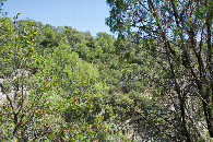
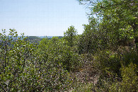
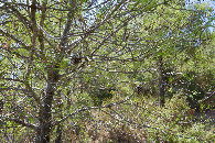
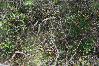
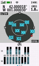
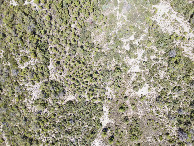
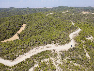
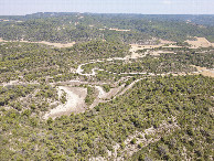
| #1: The confluence point lies in a small, scrub-filled ravine. (This is also a view to the North, towards the nearby access road.) #2: View East #3: View South #4: View West #5: Ground cover (a large bush) at the confluence point #6: My GPS receiver, 3m from the point (GPS+Galileo+BeiDou) #7: Looking down on the point from a height of 120m #8: View North (across the access road), from 120m above the point #9: View East, from 120m above the point #10: View South, from 120m above the point #11: View West, from 120m above the point ALL: All pictures on one page |