|

United States : New Jersey
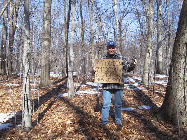
0.9 miles (1.4 km) SW of Old Tappan, Bergen, NJ, USA
Approx. altitude: 16 m
(52 ft)
([?] maps: Google MapQuest OpenStreetMap topo aerial ConfluenceNavigator)
Antipode: 41°S 106°E
Accuracy: 8 m (26 ft)
Quality: good
Click on any of the images for the full-sized picture.


| 41°N 74°W (visit #3) |
![Visit #17: [30-May-22]](/us/nj/n41w074v17/preview.jpg "Visit #17: [30-May-22]")
![Visit #16: [28-Feb-12]](/us/nj/n41w074v16/preview.jpg "Visit #16: [28-Feb-12]")
![Visit #15: [14-Jan-12]](/us/nj/n41w074v15/preview.jpg "Visit #15: [14-Jan-12]")
![Visit #14: [09-May-11]](/us/nj/n41w074v14/preview.jpg "Visit #14: [09-May-11]")
![Visit #12: [21-Apr-08]](/us/nj/n41w074v12/preview.jpg "Visit #12: [21-Apr-08]")
![Visit #13: [04-Apr-08]](/us/nj/n41w074v13/preview.jpg "Visit #13: [04-Apr-08]")
![Visit #11: [14-Nov-07]](/us/nj/n41w074v11/preview.jpg "Visit #11: [14-Nov-07]")
![Visit #10: [11-May-07]](/us/nj/n41w074v10/preview.jpg "Visit #10: [11-May-07]")
![Visit #9: [15-Jul-05]](/us/nj/n41w074v9/preview.jpg "Visit #9: [15-Jul-05]")
![Visit #8: [12-May-05]](/us/nj/n41w074v8/preview.jpg "Visit #8: [12-May-05]")
![Visit #7: [05-May-05]](/us/nj/n41w074v7/preview.jpg "Visit #7: [05-May-05]")
![Visit #6: [29-Nov-04]](/us/nj/n41w074v6/preview.jpg "Visit #6: [29-Nov-04]")
![Visit #5: [25-Oct-04]](/us/nj/n41w074v5/preview.jpg "Visit #5: [25-Oct-04]")
![Visit #4: [26-Jun-03]](/us/nj/n41w074v4/preview.jpg "Visit #4: [26-Jun-03]")
![Visit #2: [18-Feb-01]](/us/nj/n41w074v2/preview.jpg "Visit #2: [18-Feb-01]")
![Visit #1: [14-Nov-98]](/us/nj/n41w074/preview.jpg "Visit #1: [14-Nov-98]")

(visited by Robert Fenske, Jr.) 07-May-2002 -- After spending several days in New York City, I had to take a late afternoon flight out of Philadelphia back home to San Antonio. On the drive from New York City to Philadelphia I decided to take a detour to this confluence since it wasn't very far out of the way and appeared to be easily reachable. It so happened that my rental car was equipped with an in-car GPS mapping system (first time I have used/seen one) so I decided to use it to get me close to the confluence. It was more sophisticated than I was initially expecting and it actually got me quite close to the confluence without me having to refer to any paper maps. This part of NJ is forested countryside dotted with small towns, much different from the two Texas confluences I have visited 30°N 103°W and 36°N 102°W. After getting within just a few kilometers of the confluence I switched to using my GPS receiver. I parked the car about a kilometer north of the confluence at a point that I figured was the closest driveable spot on the same side of the nearby river. The trail went off into the woods in the direction I needed to go. With the quite pleasant Spring temperature it was a very nice 1km walk. The trail led me almost directly to the confluence; I only had to the leave the trail the last 100 meters or so. While trees were everywhere the undergrowth was widely spaced so there was no problem reaching the destination. In every direction were trees. The area was quite green, in contrast to the previous visits to the confluence (which were in different times of the year). All the pictures show pretty much the same thing: deep in the woods. The first picture is looking north. I was able to match one of the trees (the white trunk with the black gash about .5m from the ground) in this picture with a tree in one of the pictures from the second visit -- I was standing a few meters south and east of the man in this other picture. My other pictures are of the east view and west view and another north view with me in it. |
| All pictures |
| #1: Looking north #2: Looking east #3: Looking west #4: Me at the confluence ALL: All pictures on one page |